Pete's Walks - Harpenden circular walk (page 1 of 2)
If you are considering walking this route yourself, please see my disclaimer. You may also like to see these notes about the maps and GPX files.
I did this 13-mile circular walk all around Harpenden on Monday, 14th September, 2009. It was a repeat of a walk I did about six weeks ago but in the opposite direction (clockwise). I varied the route slightly by taking footpaths from Hatching Green to Redbournbury rather than follow Beeson End Lane, and I have shown this alternative on the map (there were also a couple of very minor variations as I followed the Lea Valley Path through Harpenden).
It was quite sunny as I started walking about 9.45am, though there was a lot of cloud about and it would soon become grey and nearly overcast - later there would be some brighter spells, and it became quite sunny again towards the end of the walk. It was much cooler today than my previous walk on Saturday.
From the car park in the middle of Redbourn Common, by the cricket pitch, I headed across the common past a children's play area and followed a residential street for a couple of hundred yards or so until steps led up to the footpath along the former railway line known as the 'Nickey Line'. Click on this link to read about the history of the 'Nickey Line' (external link opens in new window). I discovered today that I'd been misspelling it 'Nicky' without the 'e', because it is wrong in the Chiltern Way guide book where I first came across it.
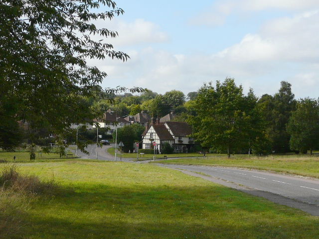
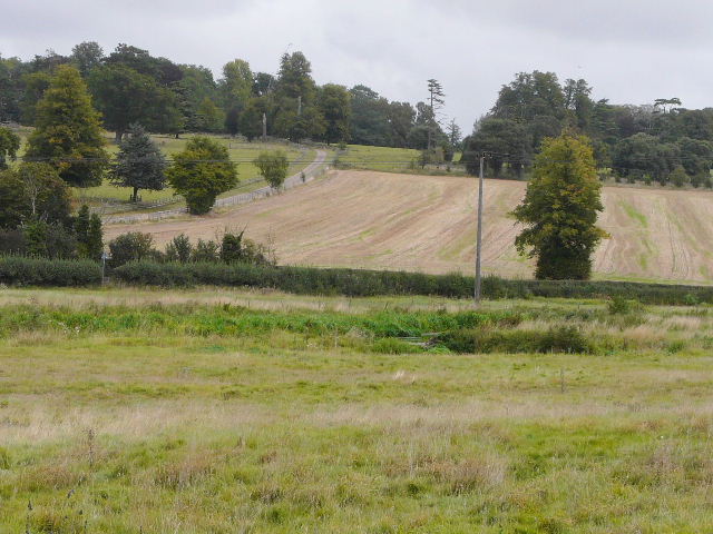
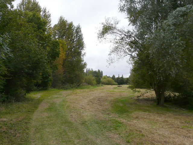
Part of the common at Redbourn
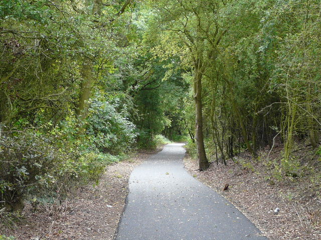
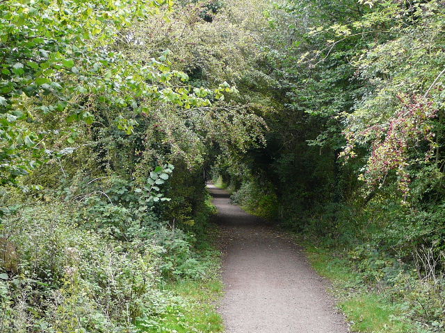
Near the start of the old railway, the 'Nickey Line'.
I followed the Nickey Line north or northeast towards Harpenden, initially with the bypass carrying the modern A5 just through the bushes on the right. I crossed the main road at a roundabout, and continued along the former railway line - it was clearly well used by joggers, power walkers, dog walkers and cyclists! It was heading very gently uphill, and at places I had nice views out to my left over the area around the Ver Valley.
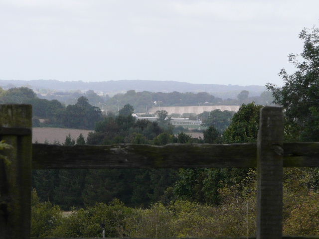
Looking northwest from the Nickey Line
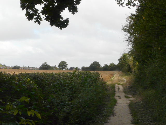
I eventually reached the section that is part of the Chiltern Way, soon after following that route as it turned left off the railway line and followed a pleasant field-side path to a school on the edge of Harpenden. I continued through alleyways and past allotments to reach the former A6 as it headed north out of Harpenden towards Luton. I followed it left for a short distance before crossing over and taking Cooters End Lane, heading back out into open country.
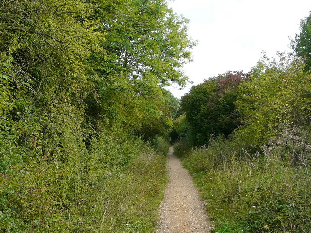
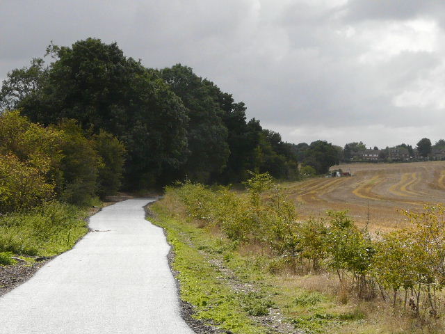
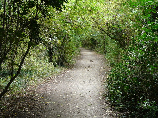
Start of the path where I left the Nickey Line
The path approaching a school on the edge of Harpenden
The start of Cooters End Lane
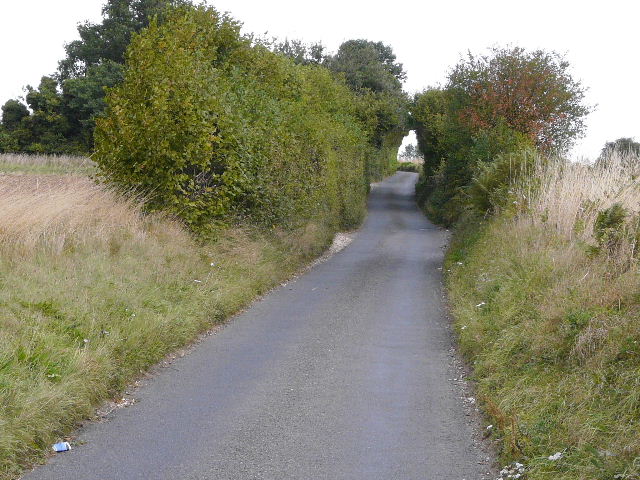
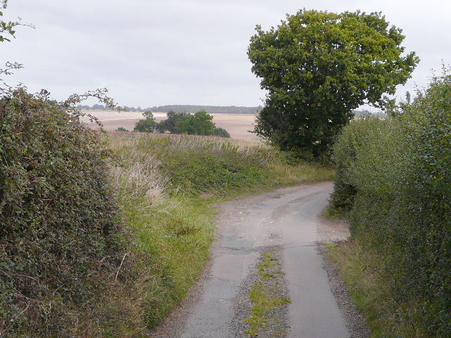
I followed the lane for about a mile - it rose uphill, passed the hamlet of Cooters End at the top of the hill, then gradually started descending into the Lea Valley.
Cooters End Lane, just past Cooters End
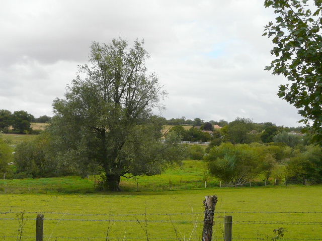
Cooters End Lane approaching the Lea Valley near East Hyde
Just before reaching East Hyde, I left the lane and turned right onto the Lea Valley Path, which here followed the course of another former railway line This was once a branch line of the Great Northern Railway, built around 1860 from near the modern-day Welwyn Garden City to Luton and Dunstable - it was closed by the infamous Dr Beeching in 1962. This broad path had clearly been very recently re-surfaced with tarmac (it was grey gravel when I came this way 6-7 weeks ago), which shone brightly on the odd occasions that the sun put in a brief appearance.
Lea Valley, near East Hyde
The recently tarmac'd path along the Lea Valley, on the route of another former railway line
The recently tarmac'd path along the Lea Valley, approaching Harpenden
When the old railway line reached another part of Harpenden, I stayed on it - last time, coming the other way, I'd missed where the Lea Valley Path rejoined the railway line, so had done some unnecessary road walking past an industrial estate. I turned off the railway at the correct point, and crossed over a road junction, passing a modern church and then following a pleasant path alongside the river Lea as it passed between Batford (on my left, across the river) and Harpenden.
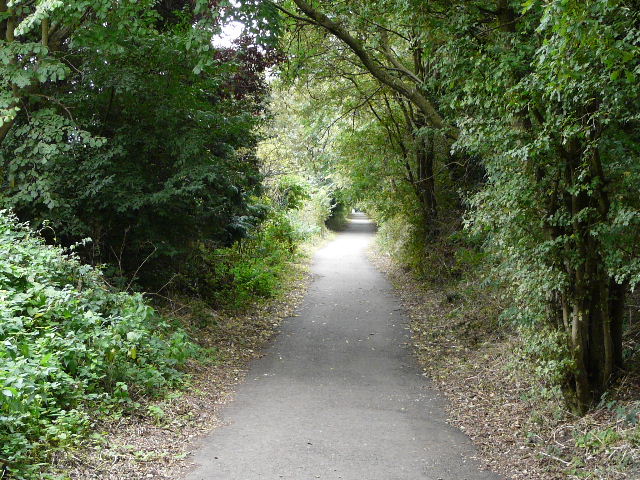
The old railway line, continuing through Harpenden
Riverside meadow, near Batford
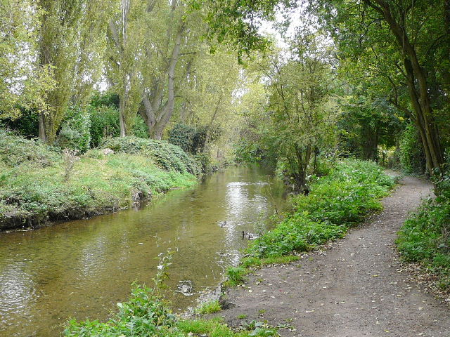
The river Lea at Batford
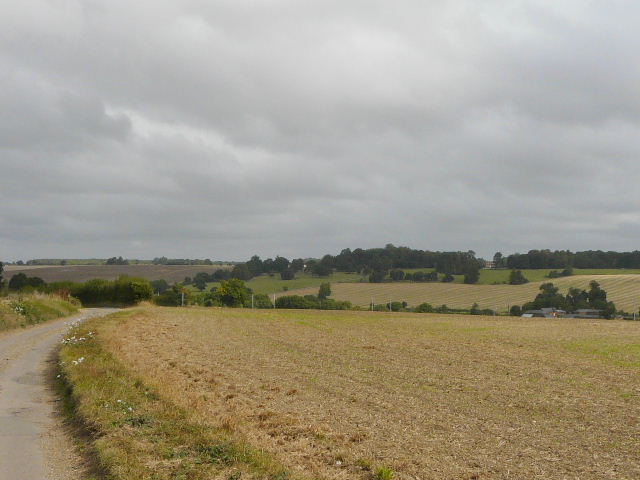
Beyond Batford the Lea Valley Path soon rejoined the old railway line. Again, I went a slightly different way than last time - I'd seen very similar waymarks for both the Lea Valley Walk and the Upper Lea Valley Walk, and had assumed they followed the same route, but here they diverged for a hundred yards or so just as they reached the railway line. The railway line made for very easy walking, running through the valley with the river over to my left and a golf course for part of the way on my right.
The old railway line again
The Lea valley, from the old railway line
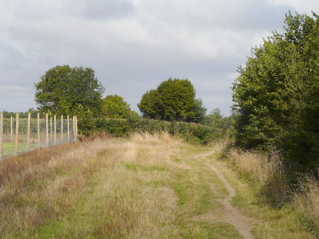
The old railway line, shortly before I left it