Pete's Walks - Stockgrove, the Brickhills, Woburn Sands (page 1 of 2)
If you are considering walking this route yourself, please see my disclaimer. You may also like to see these notes about the maps and GPX files.
I did this 13.4 mile circular walk on Monday, 19th October, 2009. It was the same as a walk I did a couple of months ago, but in the opposite (clockwise) direction.
I started walking about 9.45am from the car park at Stockgrove Country Park (it was only when I returned and saw a boundary post that I realised the car park was on the border between Bucks and Beds). I started by heading south through the woods (mainly oaks) to reach the Royal British Legion building on the edge of the village of Heath. There I turned westwards, the path passing some very fine pine trees at one point, until I reached the edge of Oak Wood, where I turned northwards (my general direction now all the way to Woburn Sands). The path eventually took me to the village of Great Brickhill.
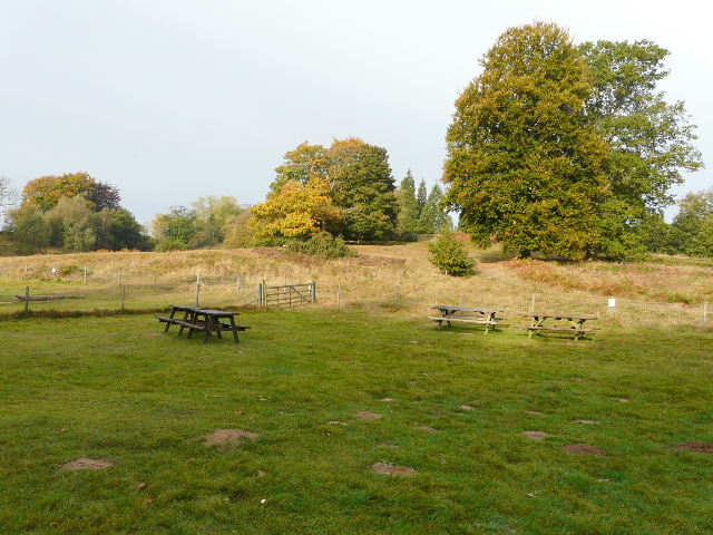
Picnic area by the car park and visitor centre, Stockgrove Country Park
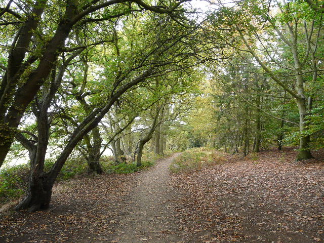
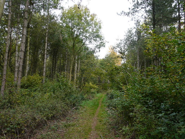
Near the start of the walk, Stockgrove Country Park
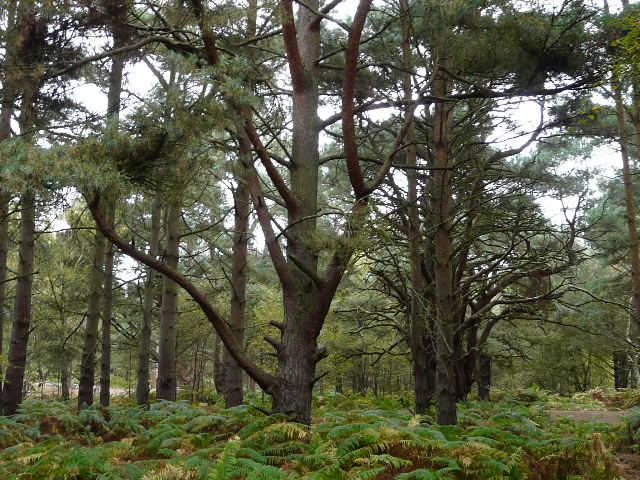
Pine trees, Stockgrove Country Park
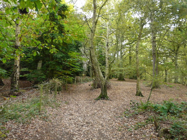
The path through Stockgrove Country Park
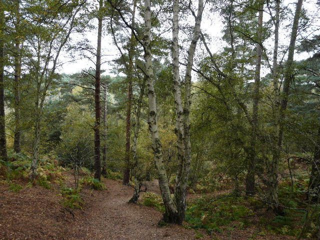
Start of the path along the edge of Oak Wood
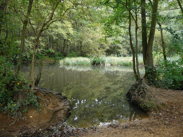
Pond, near edge of Oak Wood
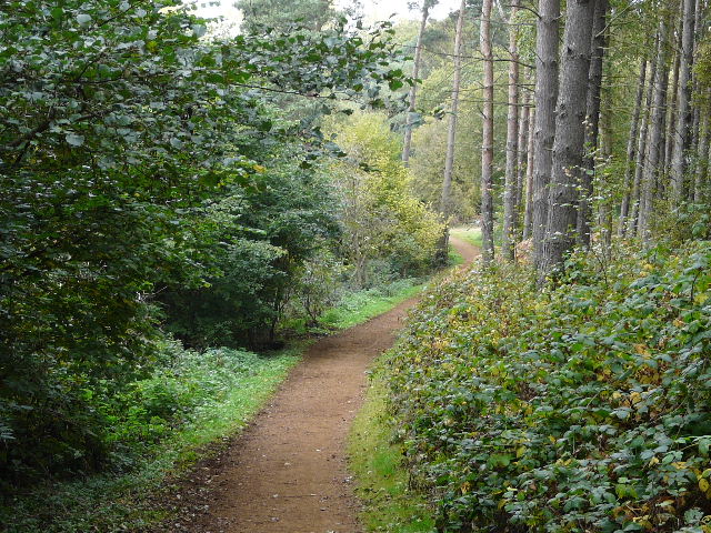
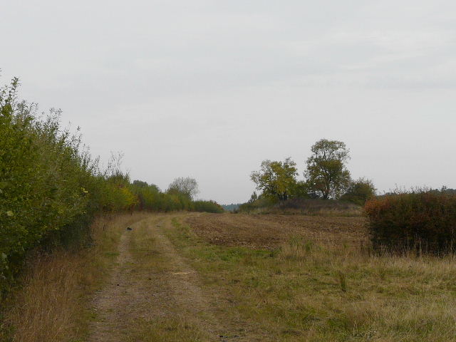
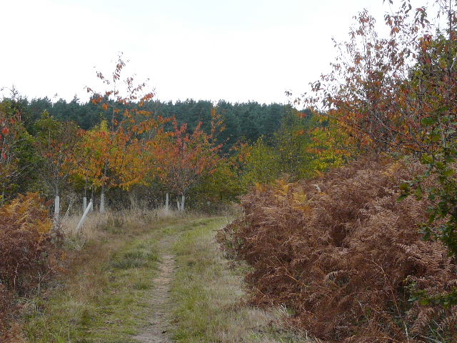
Path along the edge of Oak Wood
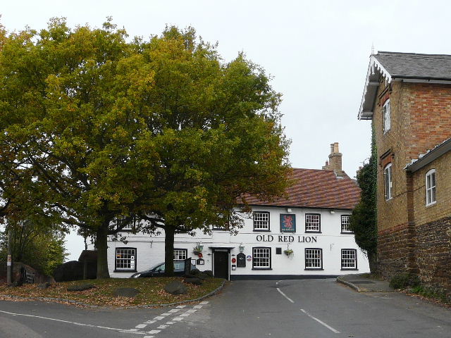
Great Brickhill
I walked through Great Brickhill, and took a footpath that passed Home Farm and continued through Dunscombe Wood to reach the A5 (on the southern edge of Little Brickhill). After carefully crossing the dual carriageway, the path skirted a couple of fields before I was back in a long sequence of woods. Broomhills Wood was succeeded by Back Wood and then Downs Covert, as I gradually made my way to Bow Brickhill.
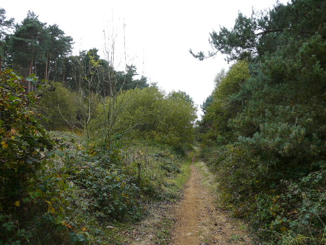
Path through Duncombe Wood
Path beside the A5
Path through Broomhills Wood
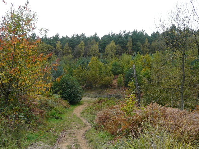
Path through Broomhills Wood

Pond on edge of Broomhills Wood
Path through Back Wood
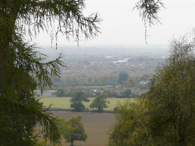
View north from Downs Covert
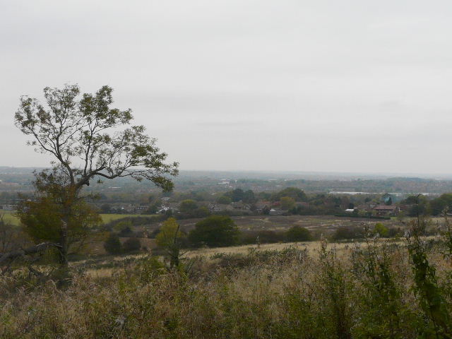
View out over Milton Keynes, approaching Bow Brickhill