Pete's Walks - Stockgrove, The Brickhills, Woburn Sands (page 1 of 3)
If you are considering walking this route yourself, please see my disclaimer. You may also like to see these notes about the maps and GPX files.
I did this walk of about 13 miles on Saturday, 30th July, 2011. This was a repeat of a walk I've done a few times now, from Stockgrove Country Park, through the villages collectively known as The Brickhills and on to Woburn Sands before returning a different way to Stockgrove Country Park. As today was a Saturday, I chose to do the walk clockwise, in order to get the larger and more popular section of the country park out of the way when it would be less busy. Also because it was a Saturday, I took the slight shortcut marked as Alternative 1 on the map, in order to omit an area that would be busy with mountain-bikers. You can see my description of the first time I did this walk here (when I did it anti-clockwise).
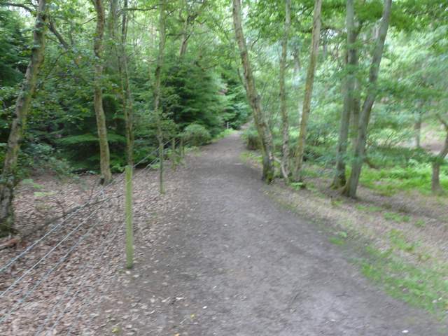
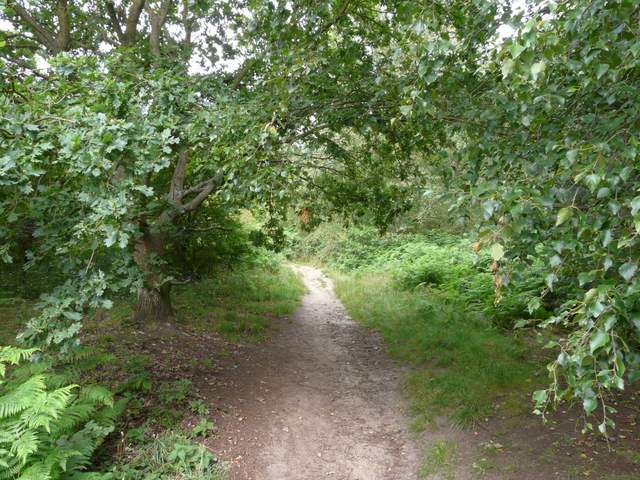
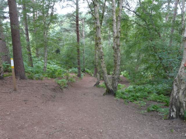
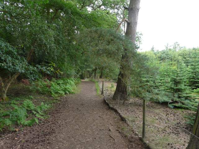
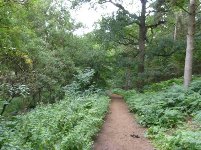
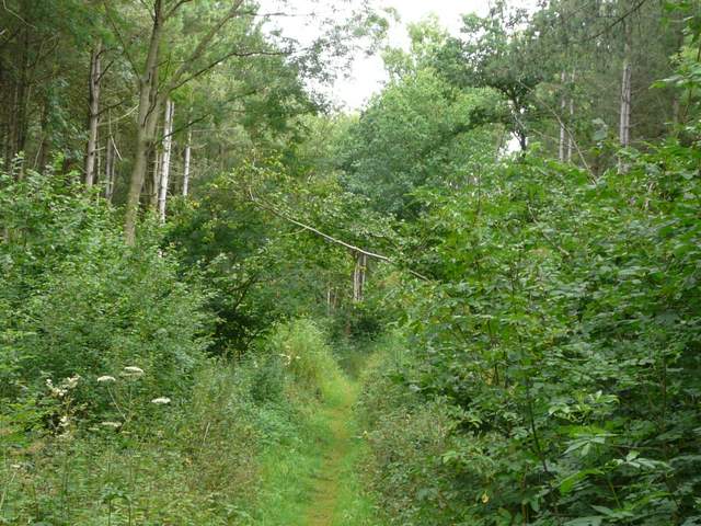
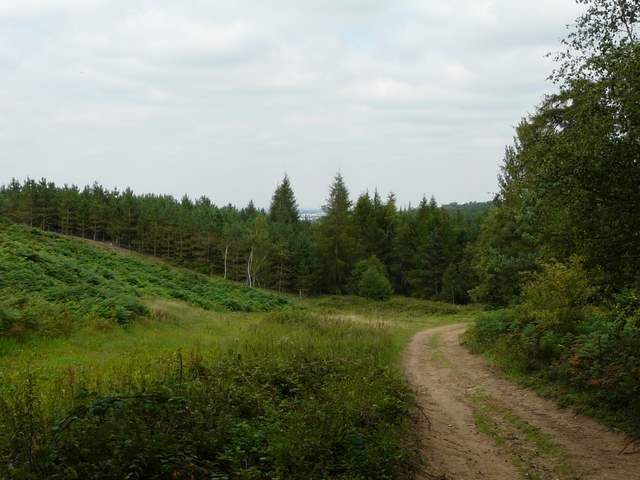
I think it was about 9.45am as I took the path starting just to the left of the entrance to the car park at Stockgrove Country Park, following it south through the trees until I emerged beside the Royal British Legion at Heath and Reach. Here I turned right, following another sandy path through the trees of the country park for about three-quarters of a mile (at some point I entered Rushmere Park). I then turned right on a path along the edge of the woods, with fields to my left. I soon passed a pond on the right where some dogs were enjoying a swim, and then I continued on through Oak Wood to emerge on a lane leading into Great Brickhill.
Near the start of the walk in Stockgrove Country Park
Stockgrove Country Park, shortly after turning left by the Royal British Legion at Heath and Reach
Stockgrove Country Park
Stockgrove Country Park
Stockgrove Country Park
Stockgrove Country Park
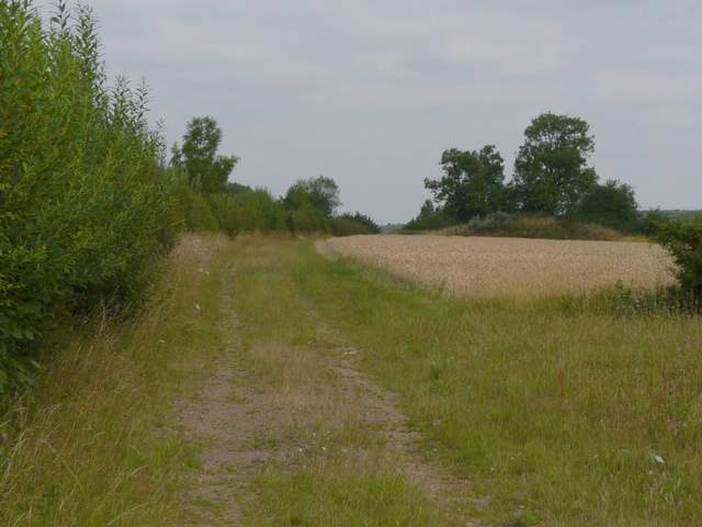
I turned left for a few yards at the end of the lane, then turned right in the centre of the village. After about half a mile I turned right along the drive to Home Farm, with several paddocks to my left. I followed the path on from the farm, and passed through Duncombe Wood to reach the road into Little Brickhill and then, a few yards further on, the A5. Safely across this, I went over a stile and turned left, a tall hedge separating me from the road. After a short distance the path went half-right across two corn fields to reach the eastern end of Buttermilk Wood (I think, at least that's the nearest name on the map).
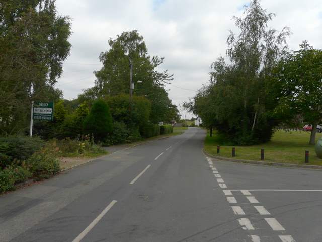
Road through Great Brickhill
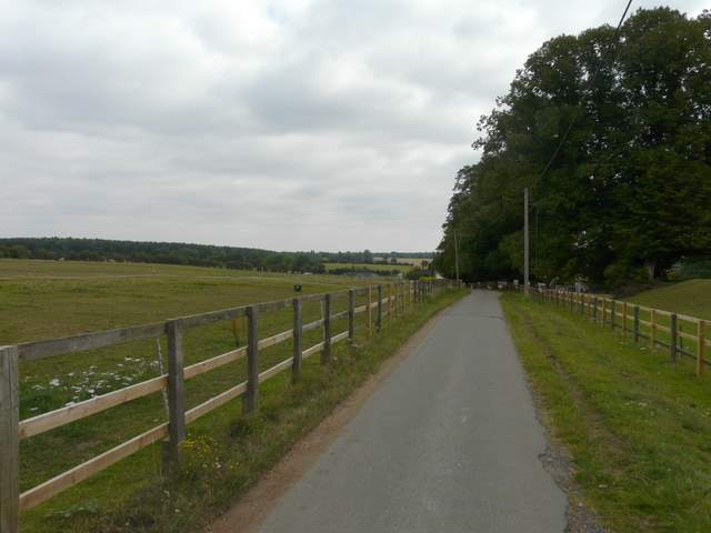
The drive to Home Farm, Great Brickhill
Duncombe Wood
The path beside the A5 near Little Brickhill
Buttermilk Wood
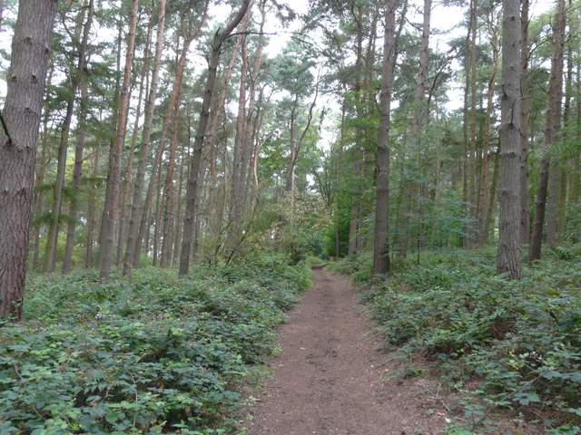
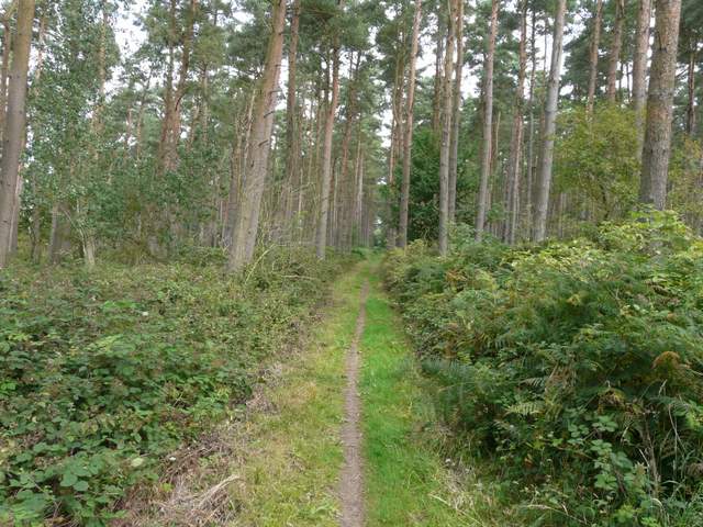
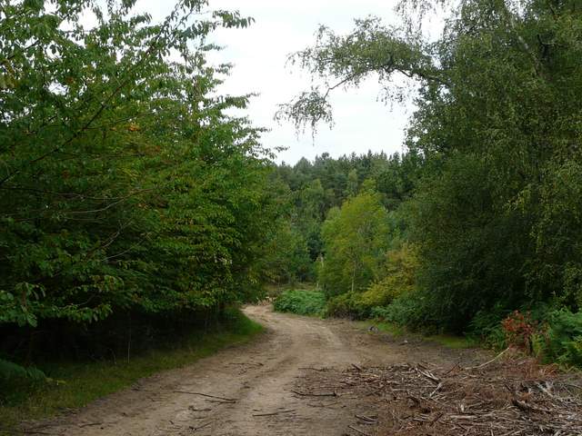
On the far side of this wood, I turned left along a road, soon reaching a junction with a path bridleway starting on the far side. There was a warning sign about forestry operations, and a huge log pile here. There was some buddleia nearby, where I spotted a Peacock, a Red Admiral and a Small Tortoiseshell. The bridleway had clearly been used by large forestry vehicles and was heavily rutted. Nevertheless it was very pleasant following it through the trees of Broomhills Wood.
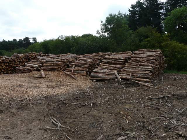
Huge log piles on the edge of Broomhills Wood
Bridleway in Broomhills Wood
The bridleway in Broomhills Wood, damaged by forestry vehicles
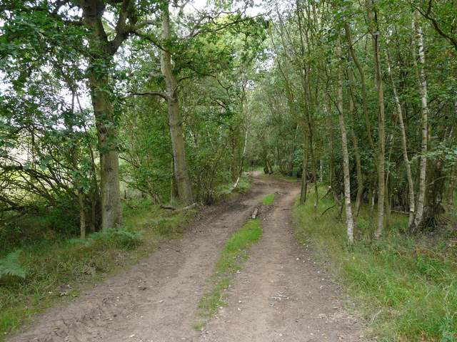
The bridleway in Broomhills Wood (or possibly now Back Wood)