Pete's Walks - Cowleaze Wood and Radnage (page 1 of 5)
If you are considering walking this route yourself, please see my disclaimer. You may also like to see these notes about the maps and GPX files.
NOTE (6/11/2025): Parking at Cowleaze Wood is no longer free, there is now a cashless payment system. To see details, click here and then click on the 'Parking and prices' tab.
I did this circular walk of about 12.5 miles on Wednesday, 26th October, 2011 (during a week's holiday from work). This was a repeat of a route that I walked in December 2009 (I was surprised that it was so long ago!).
I had a dreadfully poor night's sleep and so didn't get up too early. I was in two minds about going for a walk, but eventually set off from home about an hour later than usual. Consequently it was about 10.55am when I started walking from the car park at Cowleaze Wood (which is on the road from Stokenchurch to Christmas Common). This meant I ran the risk of getting caught in the rain forecast for the middle of the afternoon, a forecast which unfortunately proved to be unusually accurate.
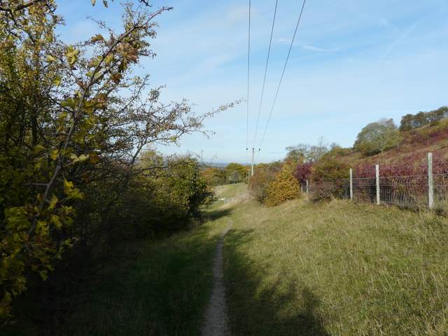
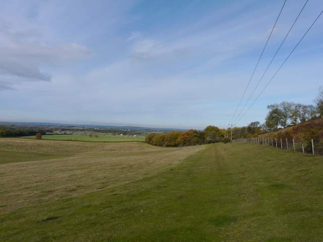
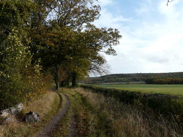
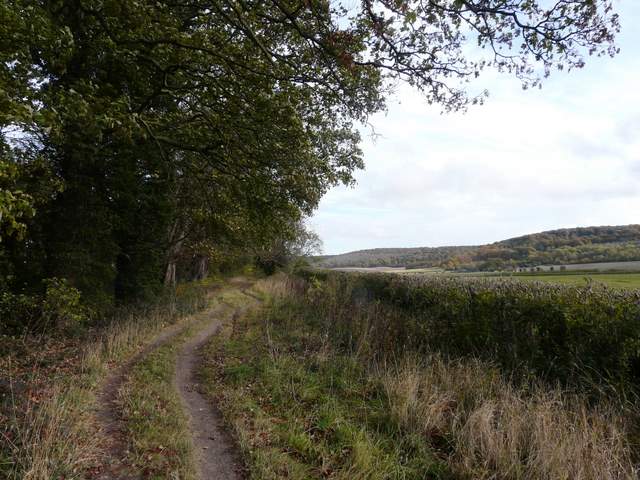
I walked to the southern end of the long car park (with the road on my right), crossed the road and took the first of two footpaths that start within yards of each other (I normally take the second one, for instance on Walk 16 of my Chiltern Chain Walk). This path followed the left edge of a pasture, then continued downhill through a small belt of trees and bushes. The path then turned right for a short while, so I had the bare slope of Bald Hill in front of me, before turning left and following a fence line, the path now descending far more gently and with a view ahead to the Oxfordshire Plain.
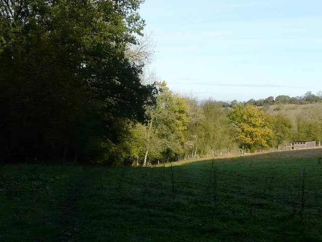
The start of the path from Cowleaze Wood
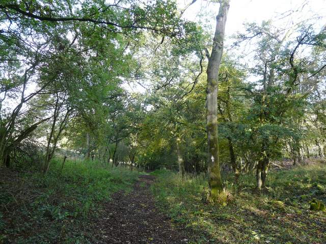
The path continuing downhill
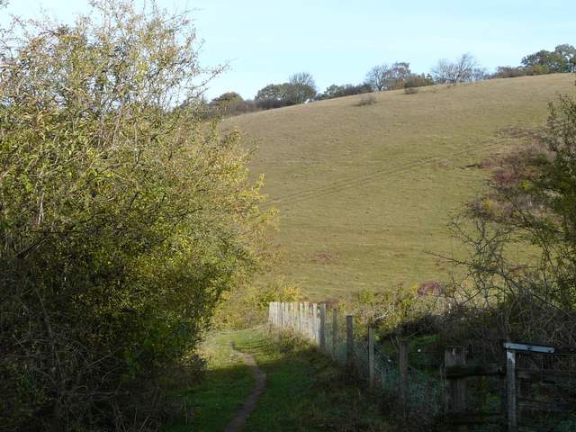
The path briefly turns right, facing the slopes of Bald Hill
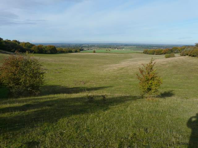
Looking out towards the Oxfordshire Plain
The path continuing down, with the slopes of Bald Hill on the right
Further along the path, heading towards the Oxfordshire Plain
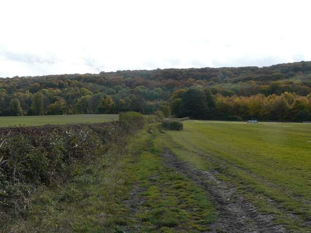
After a while the path ran beside the interestingly named Old Cricketground Plantation (judging by the size of some of the beech trees, it's many years since the sound of leather on willow was heard here!). The path then turned half-right to go through the wood, then crossed an empty pasture to reach the Ridgeway National Trail, running along the foot of the Chiltern escarpment. I turned right along the Ridgeway (I was walking another section of it in the opposite direction a couple of days ago) and soon reached the M40 near Lewknor.
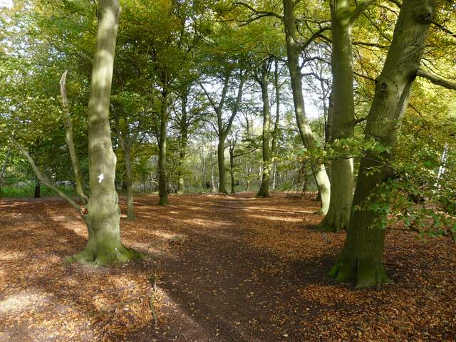
The path continues through the intriguingly named Old Cricketground Plantation
The Ridgeway National Trail, heading towards the M40 and Beacon Hill (not to be confused with the one at Ellesborough)
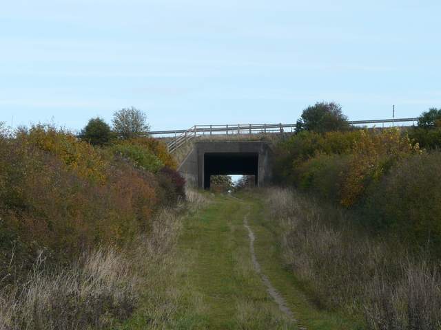
The M40 bridge at Lewknor
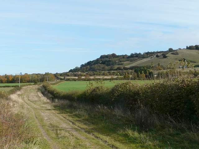
It was easy walking as I followed the broad and flat track of the Ridgeway north-eastwards past the slopes of Beacon Hill on my right, going through a small wood at one point. I crossed the A40, and carried on along the Ridgeway, now with some mature trees on my left and a field between me and the wooded escarpment on my right. Several Red Kites flew out of the trees ahead of me as I marched along here. About half a mile after the A40, I turned right onto another bridleway, following a hedgerow and heading directly for Aston Wood which rises up the slopes of Aston Hill (I visited another Aston Hill on my last walk, this one is named for Aston Rowant, the village at its foot).
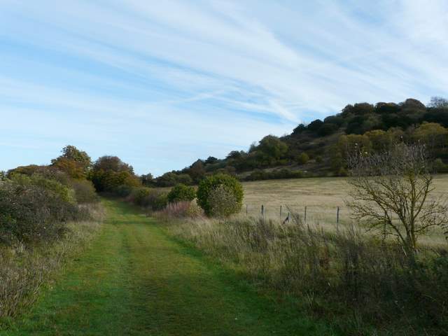
The Ridgeway continuing east past Beacon Hill
The Ridgeway
The Ridgeway
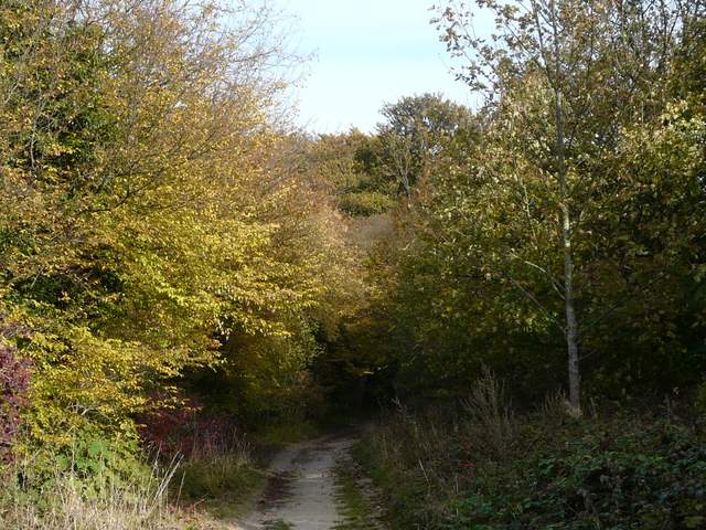
The Ridgeway just east of the A40
The Ridgeway just east of the A40
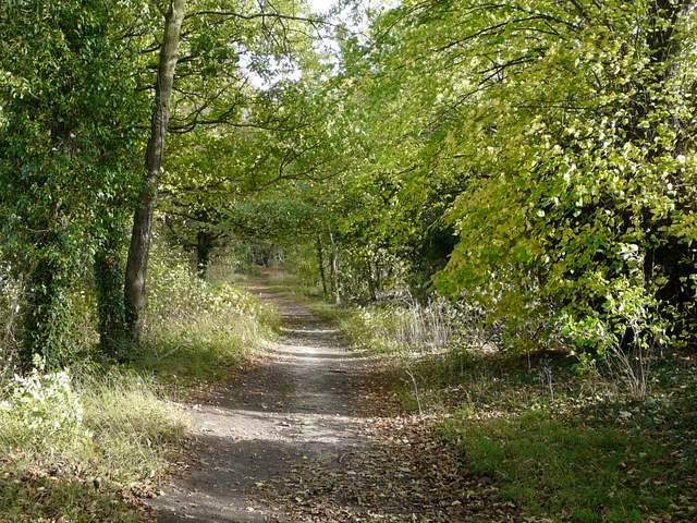
The bridleway going southeast from the Ridgeway to Aston Hill (not to be confused with the one at Aston Clinton, which I visited two days ago - this one takes its name from the village of Aston Rowant)