Pete's Walks - Cowleaze Wood and Radnage (page 2 of 5)
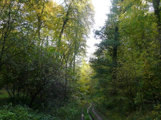
It was a steady climb following the bridleway up Aston Hill. After a while it turned left, following a clear track up the slopes to emerge at a bend on the A40, heading to Stokenchurch. I turned left and followed the path beside the road for a few hundred yards, then turned left along the minor road that descends the escarpment to Kingston Blount. This road soon turns sharply left, where I carried straight on along a bridleway, running along the south-eastern edge of Kingston Wood (the escarpment here is clothed in a string of adjoining woods named after the villages at the foot of the slope).
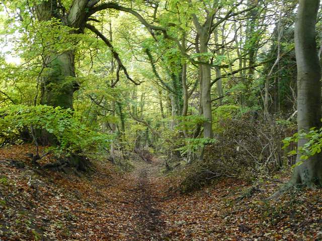
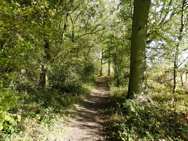
The bridleway up Aston Hill
The bridleway up Aston Hill
The bridleway up Aston Hill
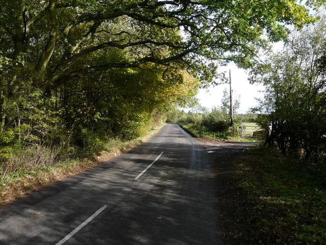
The minor road off the A40 (I frequently drive this road to get to walks, including today's)
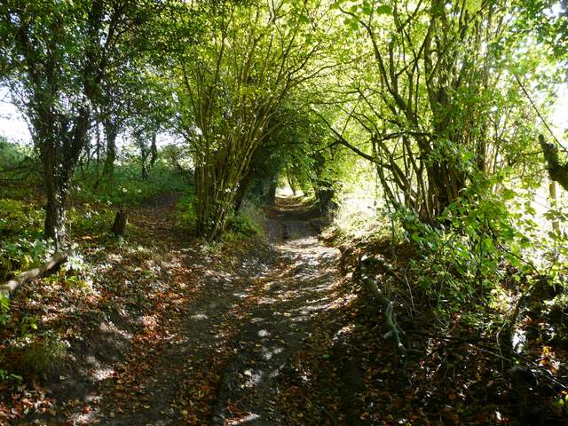
Fairly soon the bridleway turned right, still running just inside the wood with a pasture sloping uphill to my right. Further on the bridleway entered the wood, which was now High Wood. Soon I was walking a section of the route I did on Saturday, in the opposite direction. A little further on, the trees on my right were part of Lott Wood, and then High Wood on my left gave way to Crowell Wood (also named for a village at the foot of the escarpment). When Lott Wood ended (where Saturday's route came in from my right), the bridleway continued just inside the southern edge of Crowell Wood.
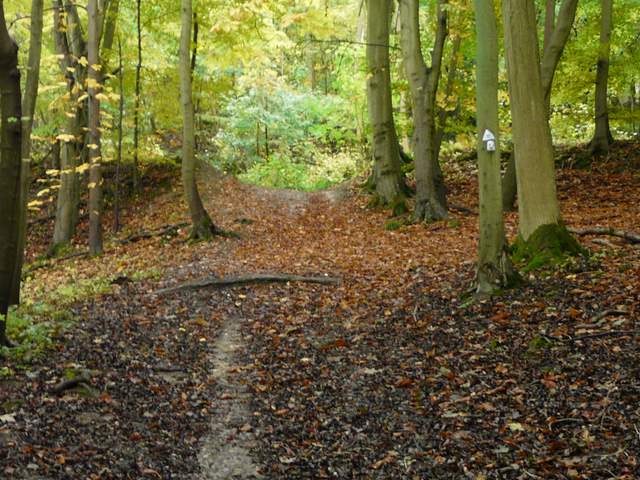
The bridleway along the edge of Kingston Wood
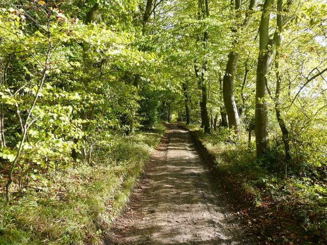
The bridleway along the edge of Kingston Wood
The bridleway along the edge of Kingston Wood
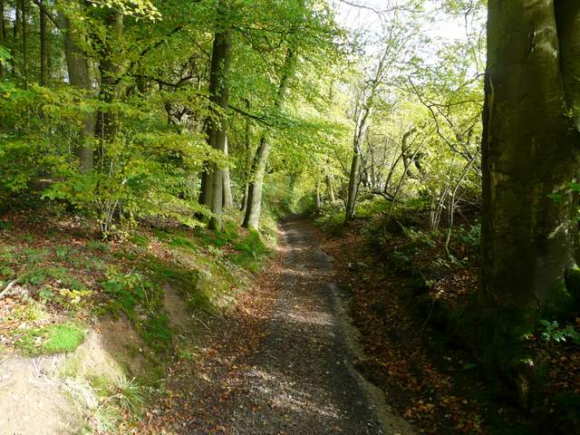
The path continuing through High Wood
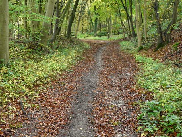
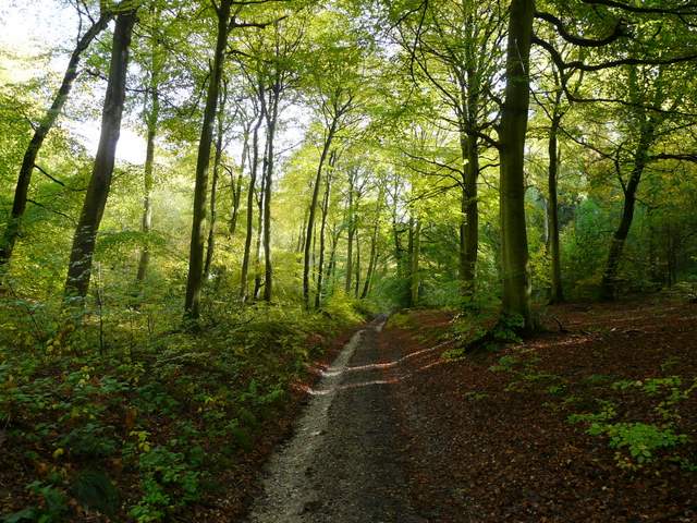
The bridleway running through Crowell Wood (left) and Lott Wood
The bridleway just before leaving Crowell Wood
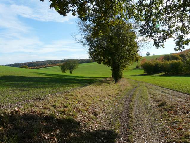
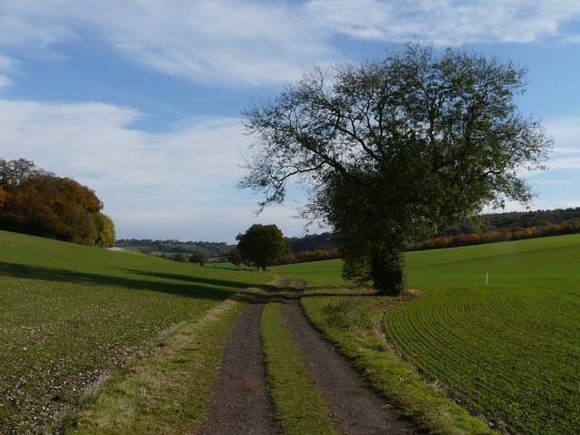
When the bridleway eventually emerged from the woods, it continued as a farm track along a valley bottom, with fields showing the first green shoots of anew crop sloping up on either side. At some point this track becomes Collier's Lane, part of a route once used to take coal from Wales to London (amazing what you learn in the Chiltern Way guide book!). This was very pleasant and easy walking, with a few mature trees dotted along the track (another Red Kite flew out of one of them). Soon I was looking ahead towards part of Radnage, backed by the slopes of Bledlow Ridge (surmounted by the village of the same name), and to my left I could see the path leading up to Andridge Farm that I'd walked on Saturday.
The bridleway just after leaving Crowell Wood
Collier's Lane
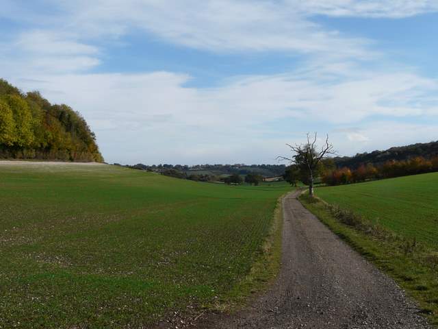
Collier's Lane
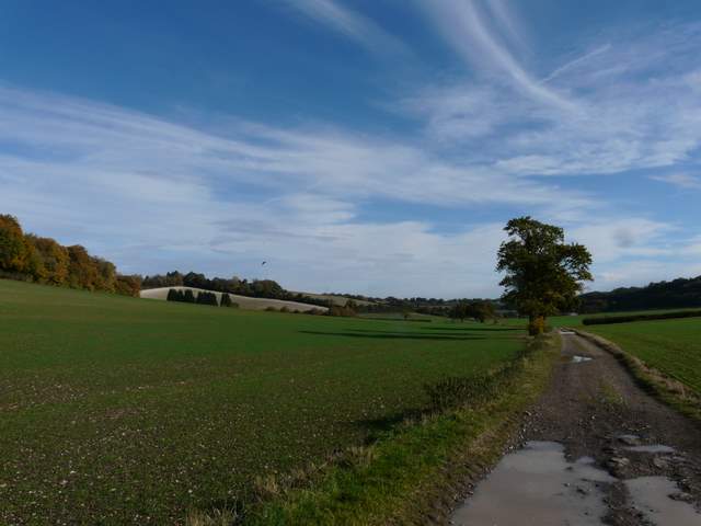
Collier's Lane - Andridge Farm is at the top of the pale field on the left, and the blur in the sky is a Red Kite (honest!)
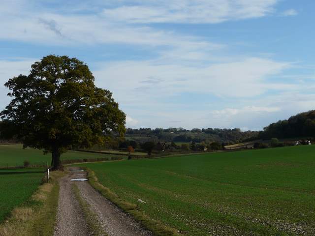
Collier's Lane