Pete's Walks - Buckland Common, The Lee, Chesham (page 1 of 4)
If you are considering walking this route yourself, please see my disclaimer. You may also like to see these notes about the maps and GPX files.
Google map of the walkDownload GPX file of the walk
I did this 13.8 mile circular walk on Saturday, 24th December 2011. It was a repeat of a walk I did in February this year, but this time I did it in the anti-clockwise direction.
I parked at my usual spot in Buckland Common, by the post box near the end of Bottom Road (Grid Reference SP 921071), and started walking at about 9.35am. At the end of Bottom Road I turned right, and after a short distance turned left into Oak Lane. Unfortunately this end of the lane was completely flooded for about 10 yards. There was no way I could get through without risking wet feet (and therefore blisters, the last thing I want at the start of a week's break from work) so I checked the map for an alternative route. I retraced my steps, continued past the end of Bottom Lane and then turned right on a footpath just after a garage (I would be returning this way later on). At the end of some garden fences, I turned right on to a section of path I'd not walked before. This followed some garden fences on my right, then turned half-left across a paddocks, continued across a corner of a second paddock, and carried on across an empty pasture to reach Oak Lane, almost opposite the drive to Dundridge Manor. I have marked this section as 'Diversion 1' on my Google map.
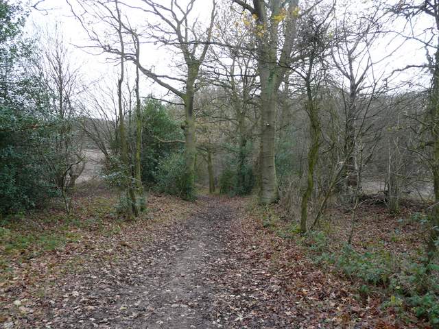
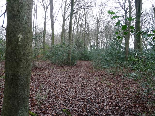
Near the start of the path from Buckland Common towards Dundridge Manor
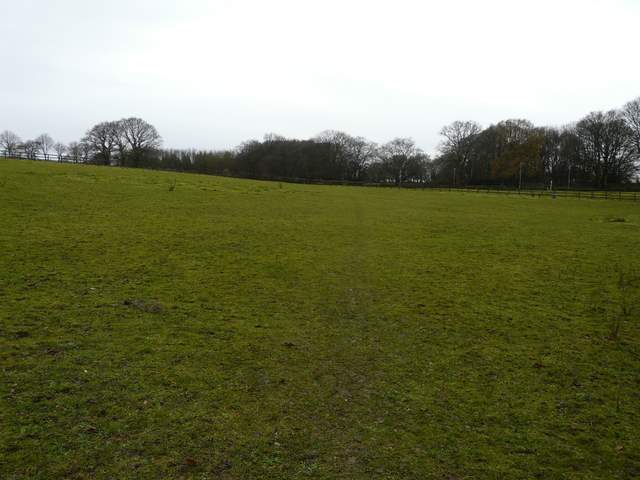
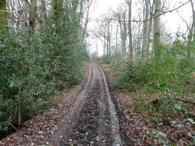
The path from Buckland Common towards Dundridge Manor
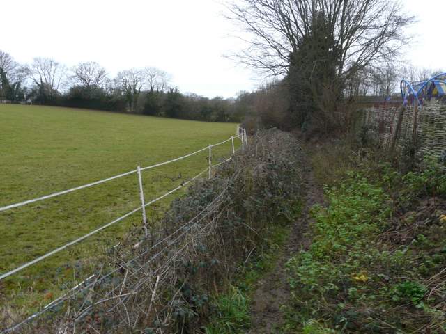
The path from Buckland Common towards Dundridge Manor, approaching Oak Lane
Back on my intended route, I followed the drive past Dundridge Manor. It continued on as a bridleway, soon turning sharp right at a corner of a wood called Ashen Grove. As this wood on my right ended, Stonehill Wood began on the left of the bridleway. Almost immediately I forked left on a path through this wood, going southwest to the diagonally opposite corner. The path then cut across a corner of a ploughed field, (sometimes here you have to just follow the edge of the fiel) then skirted the outbuildings of Old Brun Farm.
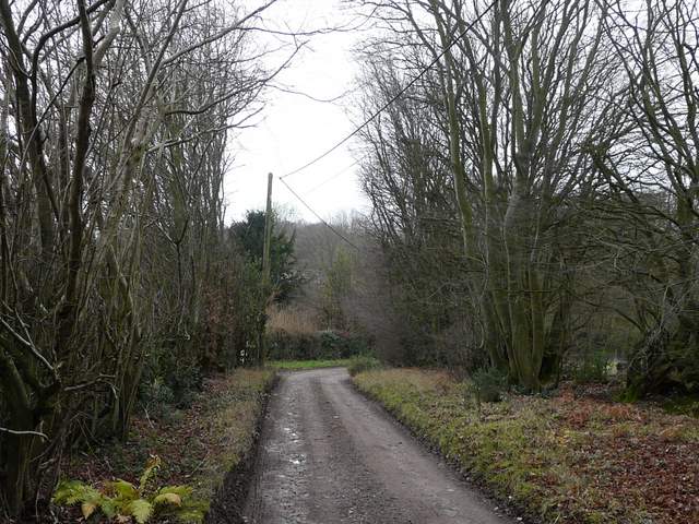
The drive past Dundridge Manor
The bridleway from Dundridge Manor approaching Ashen Grove
The bridleway along the edge of Ashen Grove
The bridleway continuing northwest along the edge of Ashen Grove
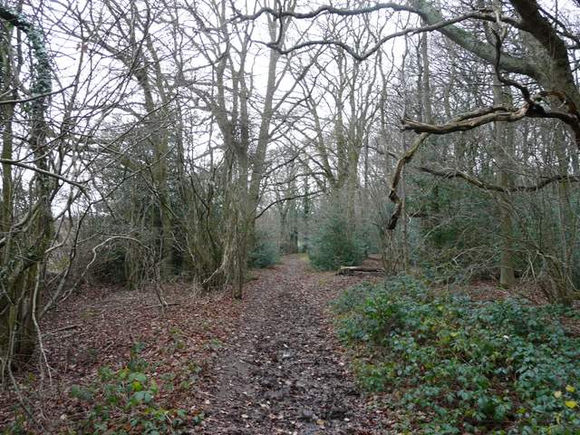
The bridleway, just before I took a path going half-left into Stonehill Wood
The path in Stonehill Wood
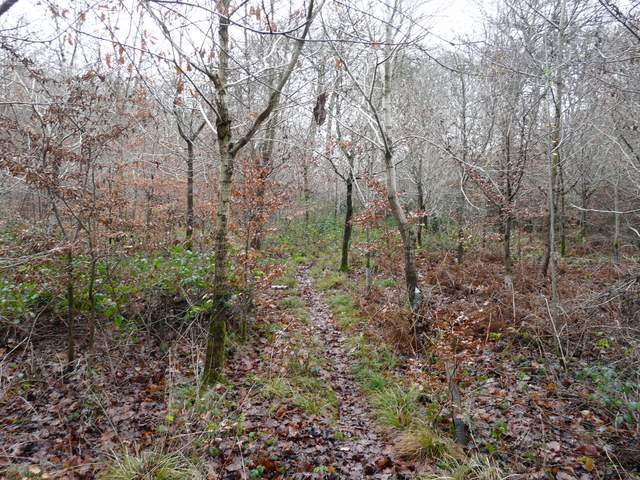
The path in Stonehill Wood
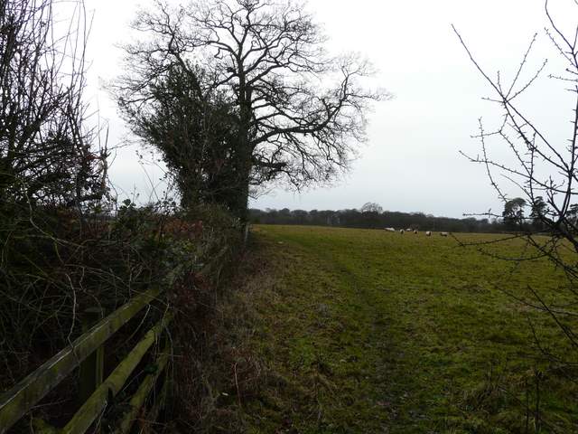
Across a lane (I've just realised this is Arrewig Lane, which the Chiltern Way crosses a little east of here) a path continued southwest-wards from Old Brun Farm, first along the right of a hedgerow, then switching to the left, then crossing a stile and switching back to the right, now in a large sheep pasture. I crossed another lane and continued across another field to reach Lordling Wood. The path led through the wood to the edge of some cottages - at a path crossroads I went a few yards left then turned right along a muddy track. This led out of the wood, past some more cottages, and reached a minor road in Lee Gate, one of the several settlements that make up the village called The Lee.
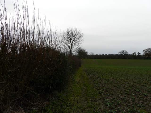
The path going southwest from Old Brun's Farm
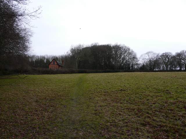
The path going southwest from Old Brun's Farm

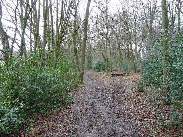
Lordling Wood
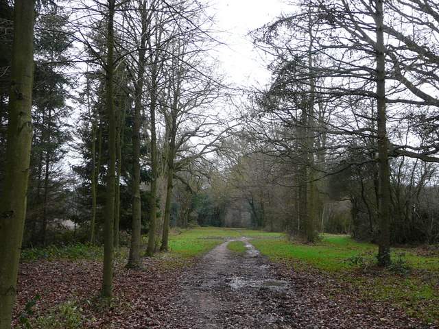
Lordling Wood
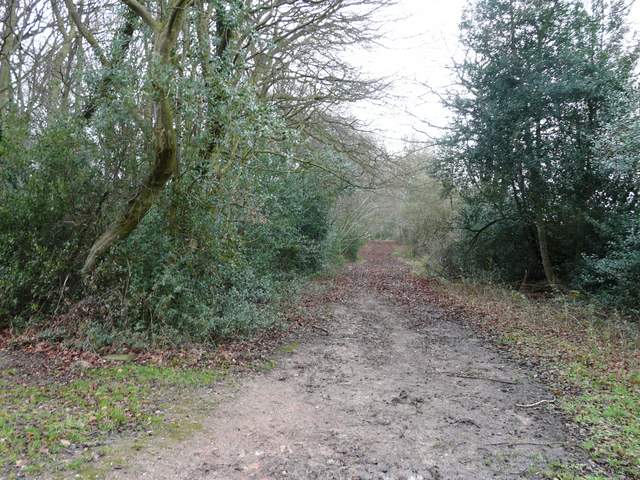
The drive from Lordling Wood, Lee Gate