Pete's Walks - Maidensgrove, Shepherd's Green and Nuffield (page 5 of 7)
If you are considering walking this route yourself, please see my disclaimer. You may also like to see these notes about the maps and GPX files.
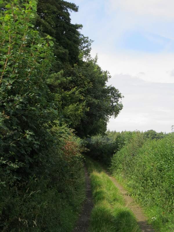
I turned right soon coming to a junction of drives on the edge of the wood, where I went straight on (the other drive went right, towards Nettlebed). The drive soon ended when it reached a farm (the OS map seems to name it Howberrywood), but a hedge-lined track continued. This soon turned left and then right, then there was a straight section of about half a mile, at first with Top Copse on my left and green fields over the hedge on my right, then through a 'green tunnel' of overhanging hedges either side.
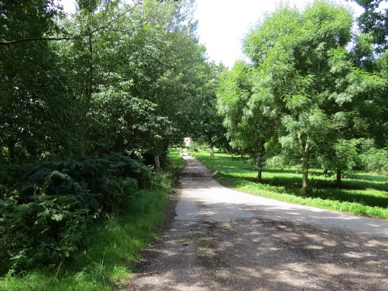
The drive to Howberrywood
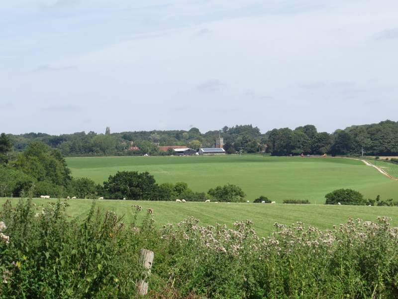
Looking right from Howberrywood, towards Nettlebed
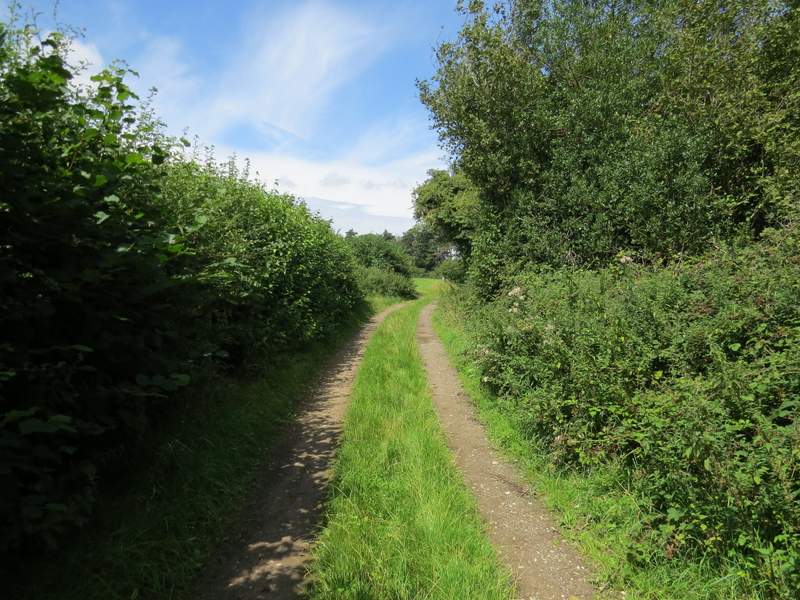
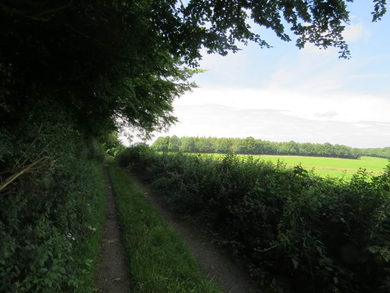
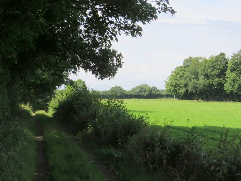
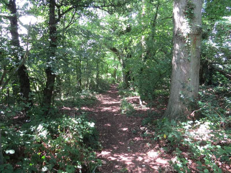
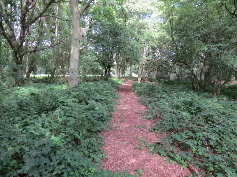
The bridleway going northwest to Nuffield
The bridleway going northwest to Nuffield
The bridleway going northwest to Nuffield
The bridleway going northwest to Nuffield
The bridleway going northwest to Nuffield
The bridleway going northwest to Nuffield
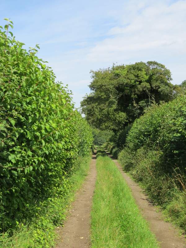
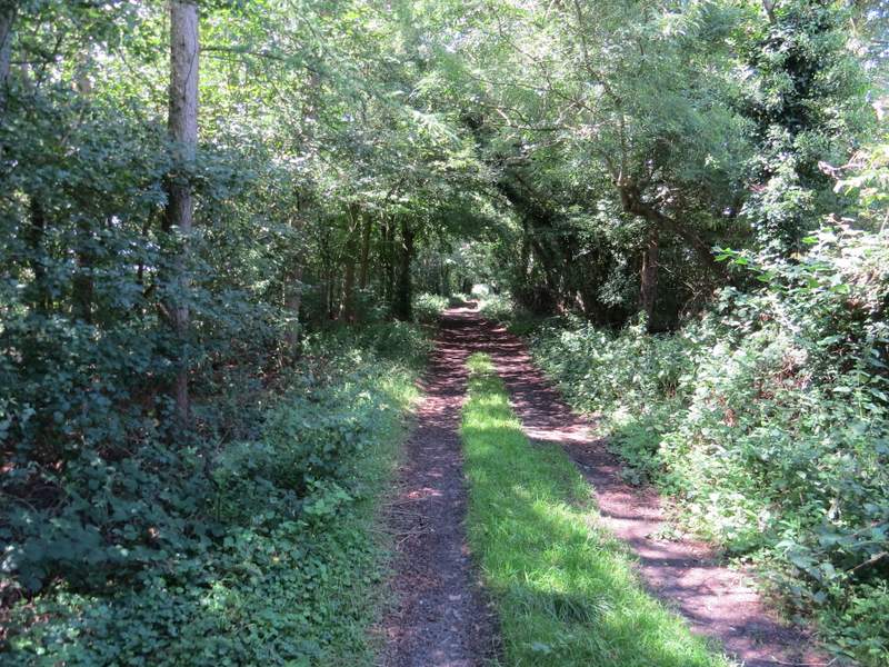
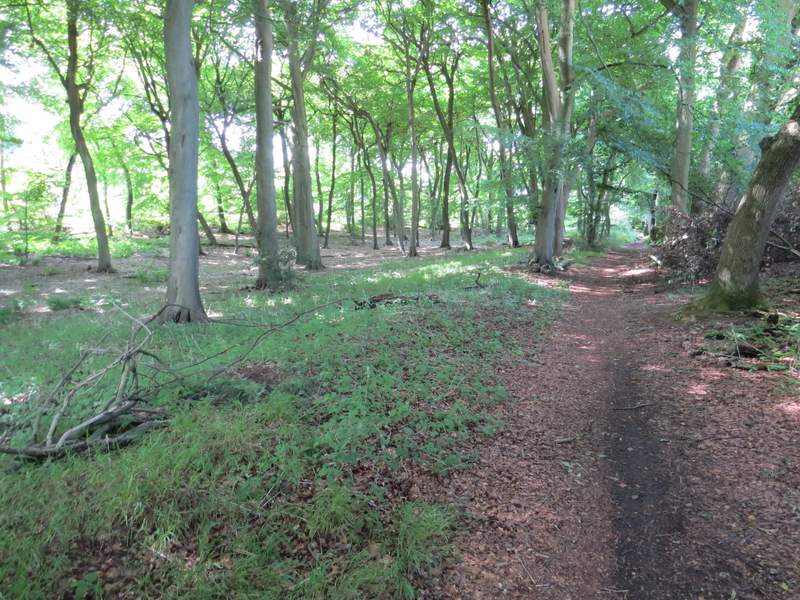
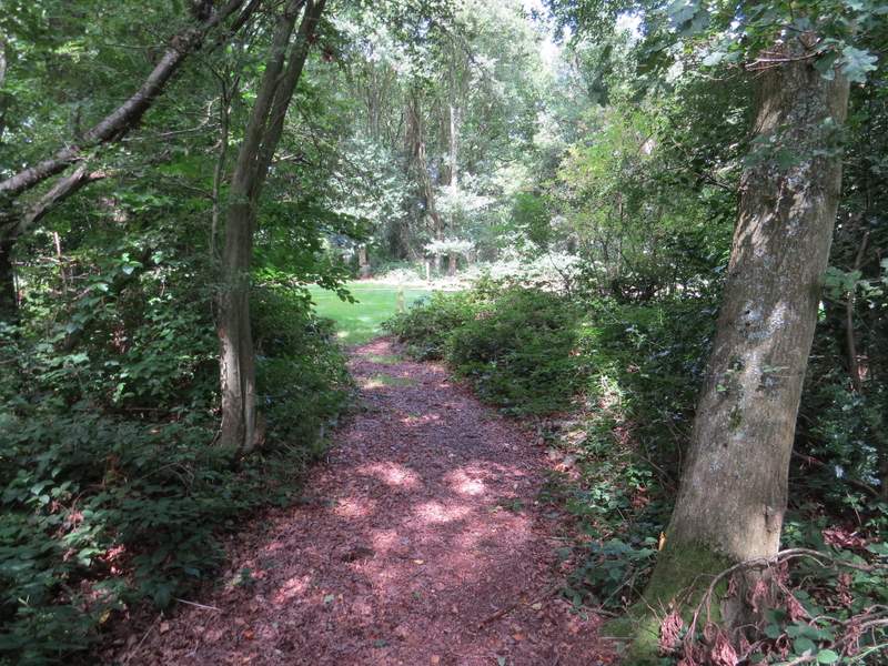
I then reached a six-way junction, where three bridleways and three footpaths meet - I followed the bridleway I was on as it turned right but after a few yards turned left onto another bridleway to continue in the same northwesterly direction as before. This bridleway ran through a long narrow tree belt, close to fields on my left. It then had a wood named Woodmoorfield Shaw on my left (a mass of Bluebells when I was here in May) and a little further on had Heycroft Shaw on the right.
The bridleway going northwest to Nuffield, just after the six-way junction
The bridleway going northwest to Nuffield
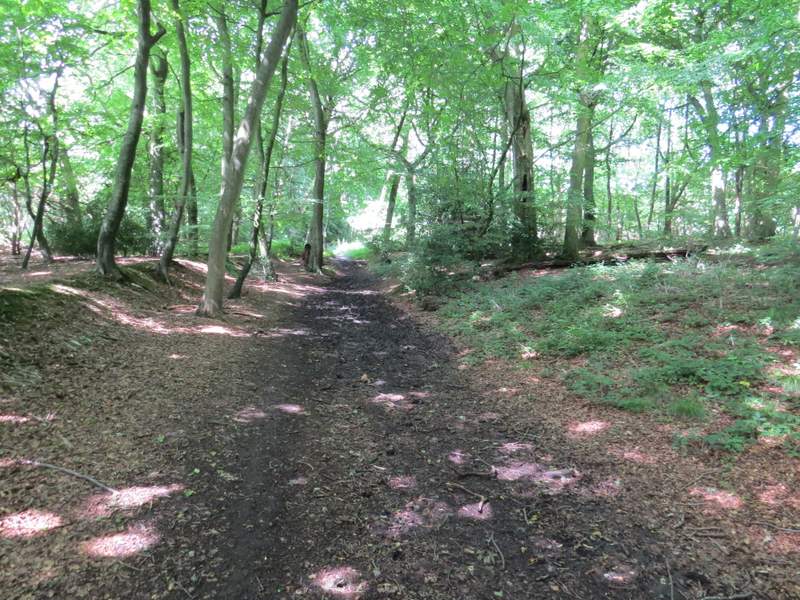
The bridleway going northwest to Nuffield
The bridleway going northwest to Nuffield
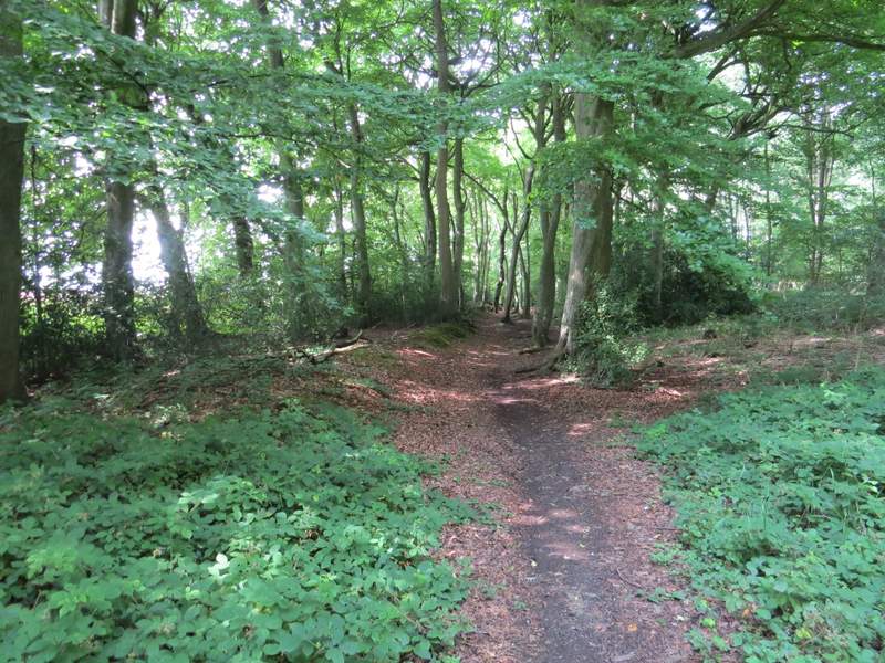
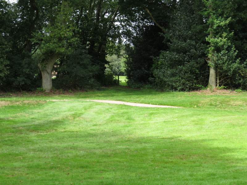
Just after the wood on my right ended, I turned right (starting my second new path today) and followed a path across a field that had obviously been left fallow this year. The path then started to cross Huntercombe golf course (on the edge of Nuffield), going over two or three fairways separated by tree belts. I crossed a minor road, and continued across more of the golf course - the route was well signposted until the last broad stretch of grass, where I studied the OS map and correctly worked out I needed to aim just right of some buildings ahead and slightly to the left. This brought me to the A4130 main road (at the top of Gangsdown Hill).
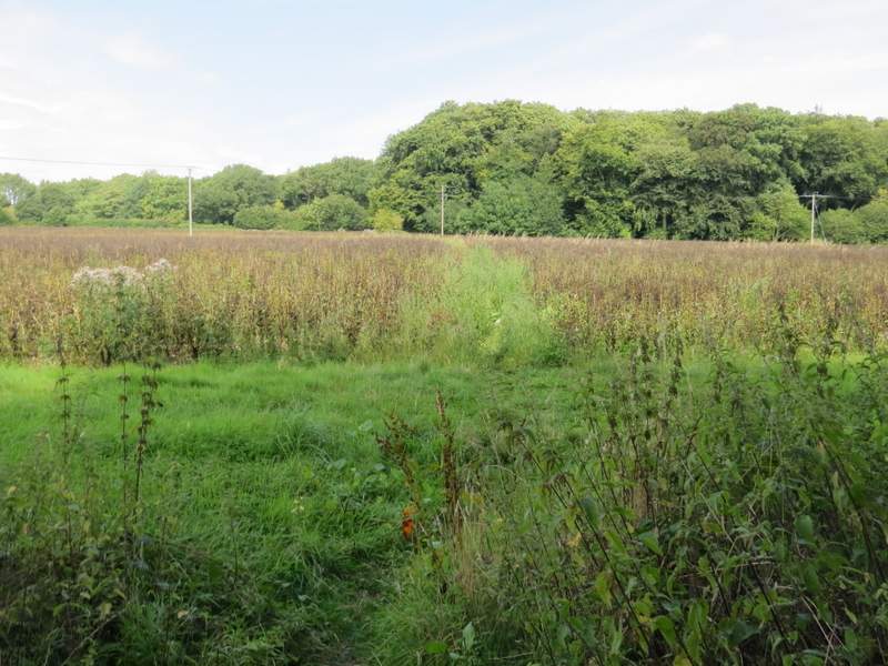
The footpath after I turned right from the bridleway
The footpath continuing across Huntercombe golf course
The footpath continuing across Huntercombe golf course
;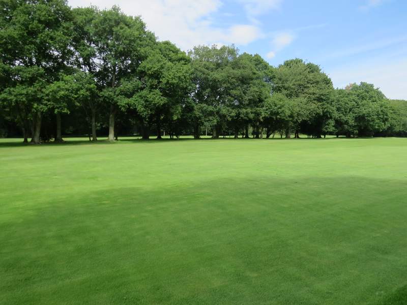
The footpath continuing across Huntercombe golf course
The footpath continuing across Huntercombe golf course (immediately after crossing the road)
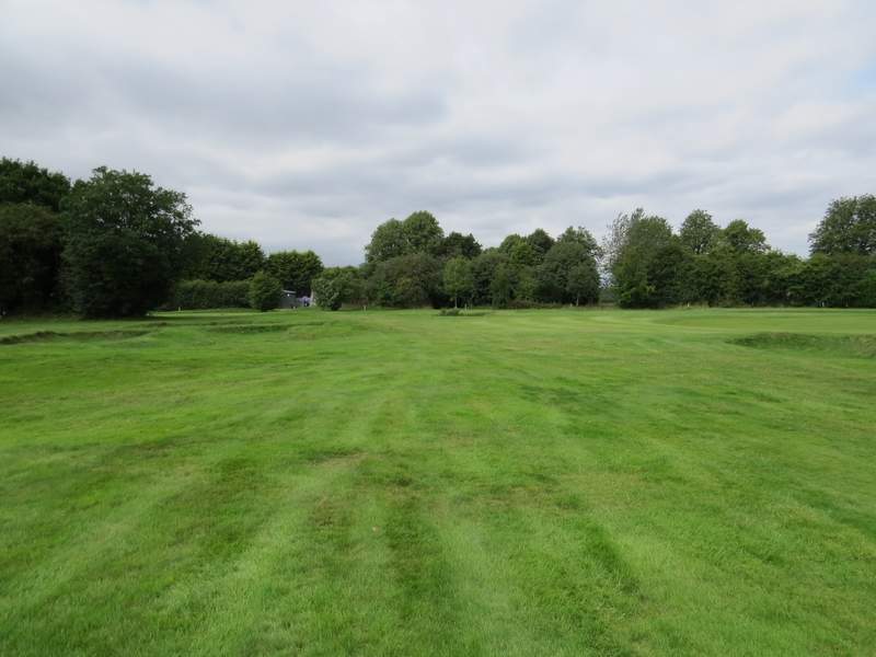
The footpath continuing across Huntercombe golf course - I aimed just right of the buildings you can see