Pete's Walks- Hambleden, Medmenham and Homefield Wood (page 1 of 4)
If you are considering walking this route yourself, please see my disclaimer. You may also like to see these notes about the maps and GPX files.
NOTE: You now have to pay to use the car park in Hambleden. I usually manage to park along the village street to the west of the church (looking at the church from the village centre, take the street on the left and follow it round to the right).
I did this roughly 6.9 mile circular walk from Hambleden on Saturday, 3rd June 2023. It was a new route for me, though only about a 1.25 miles was on paths that I'd not walked before. As with many of my walks at this time of the year, this one combined walking with looking for wildlife, in this case visiting Homefield Wood nature reserve to see the various orchids there.
As you now have to pay for the car park in Hambleden, I parked for free in the lane just west of the church instead. I started walking about 11.35am, following the lane into the village centre, and going straight on with the church on my left. I then continued straight on down a side street past the Stag and Huntsman pub and turned right into the car park. At the end of the car park I entered a playing field, where I turned left. On reaching a hedge I turned right, then just after a seat I went through a gap in the hedge and continued down a track, heading away from the village. After a few hundred yards I turned left at a track junction, and soon after took a footpath starting at a gate on my right. This ran between a fence and a hedge on my right for several hundred yards to reach North Cot Wood (that's the nearest name on the OS map, anyway).
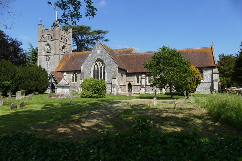
Hambleden church
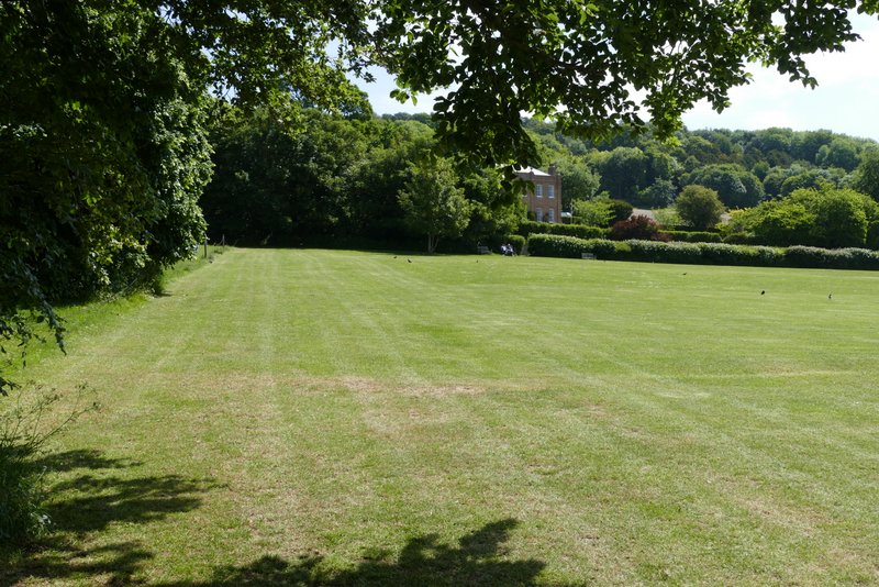
The playing fields at Hambleden (I went through a gap in the hedge just right of the two people sitting on a seat)

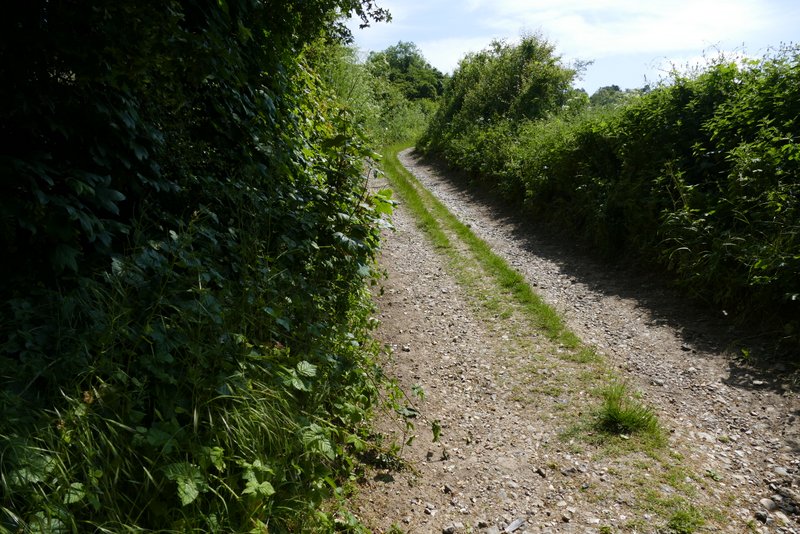
The track from Hambleden
The track after I turned left
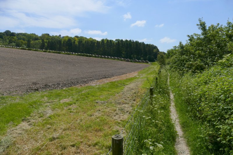
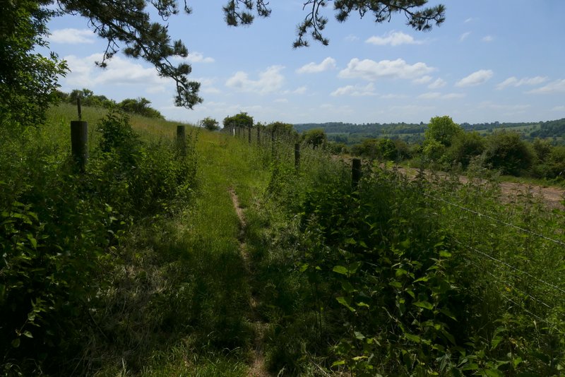
The path after I turned right from the track
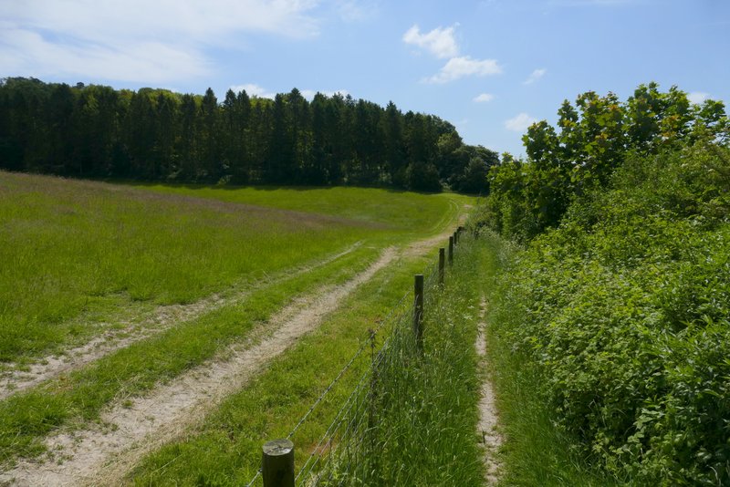
The same path approaching North Cot Wood
I went through a gate into the wood, but then almost immediately forked right and went through another gate to leave the wood again - this was the first new bit of path for me, I've previously gone straight on through the wood (on my Hambleden, Medmenham, Colstrope, Fawley walk). The path ran between fences past a rather overgrown field on my right, and then followed the left edge of a smaller ploughed field - all the while there were good views over the area where the Hambleden valley meets the Thames valley.
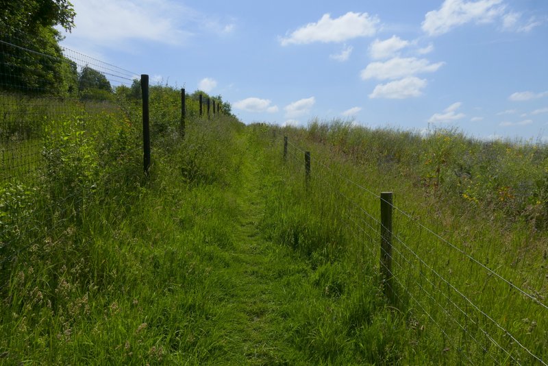
The footpath after forking right just inside North Cot Wood
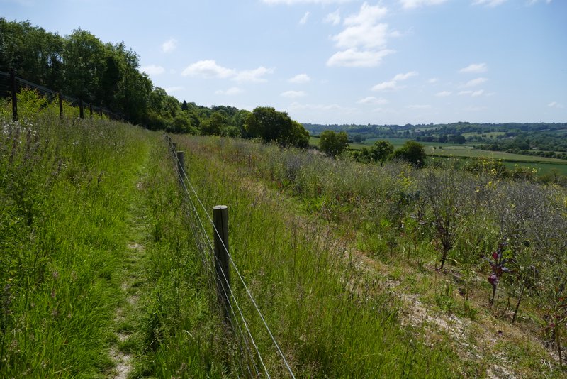
Further along the same footpath
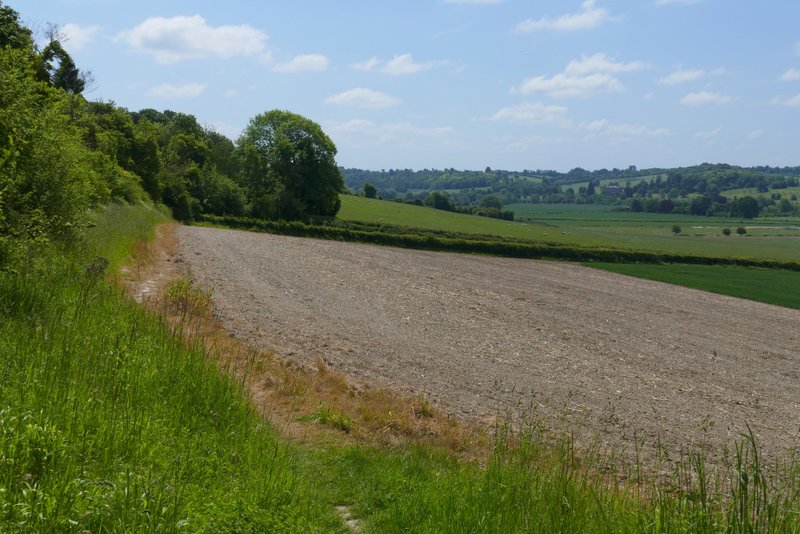
Further along the same footpath
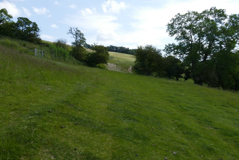
I then crossed a lane (and the start of a drive) to continue along a path starting in the opposite hedgerow. I followed the hedge on my left for a few yards then made my way across a large sheep pasture which sloped down to my right, aiming at a gate I could just see in a fence. On reaching the gate, I continued past it along a fence, then when the fence ended continued ahead, still staying level rather than going up or down the slope, until I saw a gate or stile in the hedgerow in front of me. The path then followed a fence on my right as far as a drive or track, beyond which I followed a faint trail through the grass of a large meadow. I then went through a large gap in the far hedgerow, and then continued with a hedge on my right for several hundred yards to reach another wood (Binfields Wood, I think).
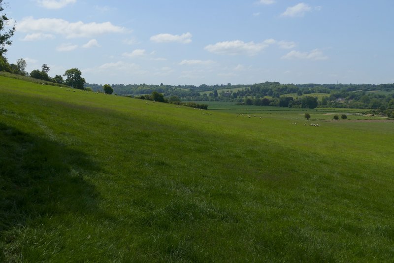
The footpath after crossing a lane - it follows a level course across the field, aiming towards roughly the second tree from the left on the skyline
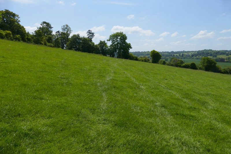
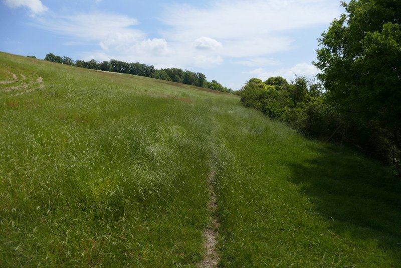
Further along the footpath, I was aiming at a tree in the centre of this shot
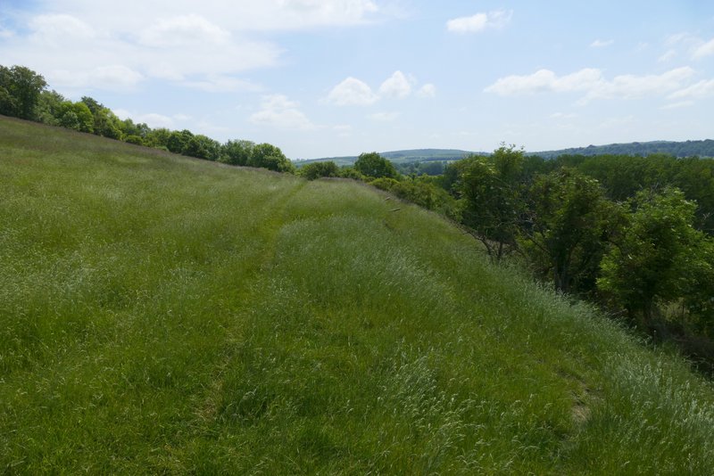
Further along the footpath
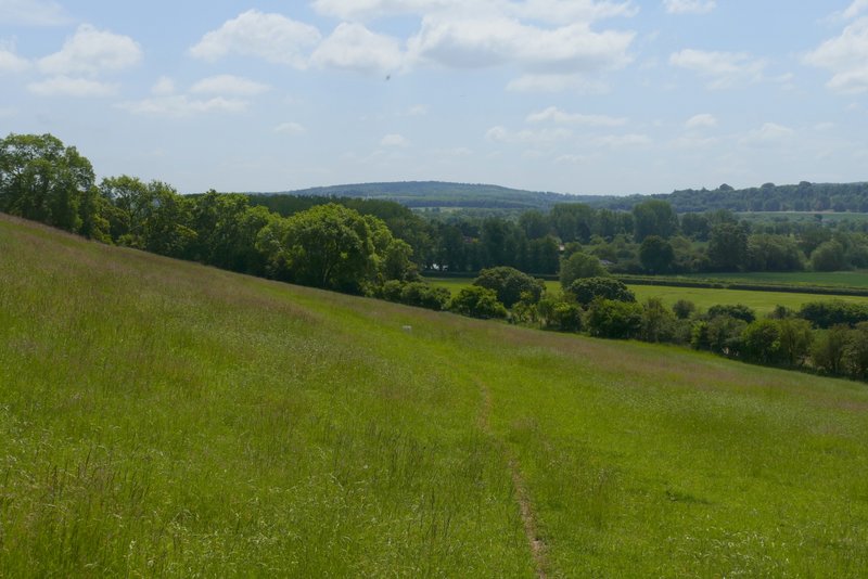
The same footpath after crossing a track or drive
Further along the same footpath - it goes through the wide hedge gap
The path continuing close to a hedge on the right
Further along the same path