Pete's Walks- Hambleden, Medmenham and Homefield Wood (page 2 of 4)
Over a style, the footpath continued through Binfields Wood. Some of this section had a rope suspended on poles along the left of the path, as the path was narrow with a steepish drop on the right. Near the far side of the wood I went right at a path junction (I was back on familiar territory, again on my Hambleden, Medmenham, Colstrope, Fawley walk). The path soon left the wood and dropped down a hillside (named Killdown Bank on the OS map). At the bottom of the slope I crossed the A4155 and turned left to follow the road into Medmenham.
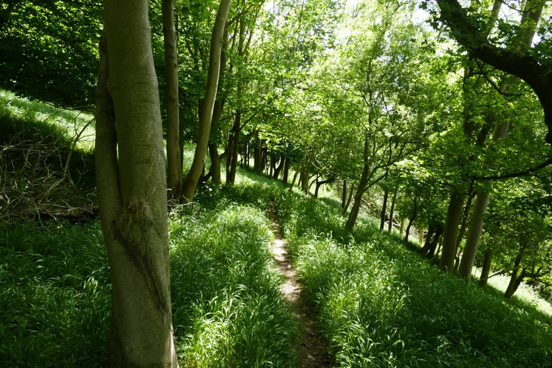
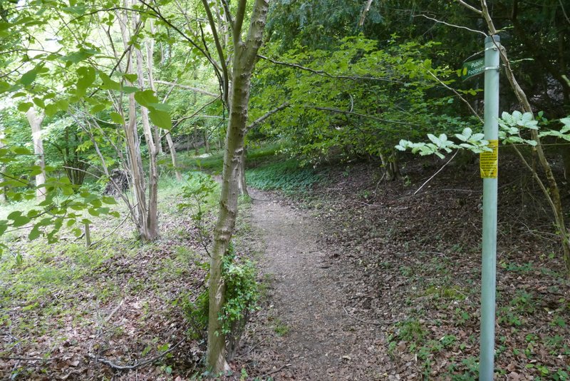
The path continuing through Binfields Wood
The path continuing through the wood
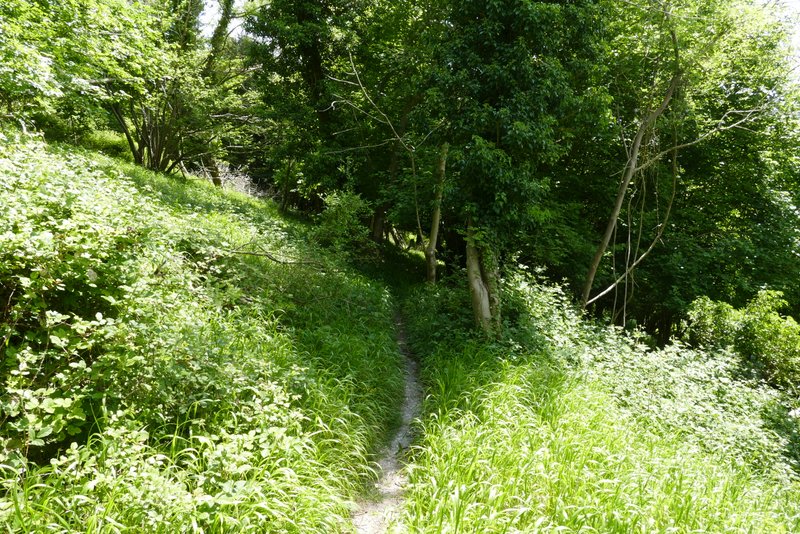
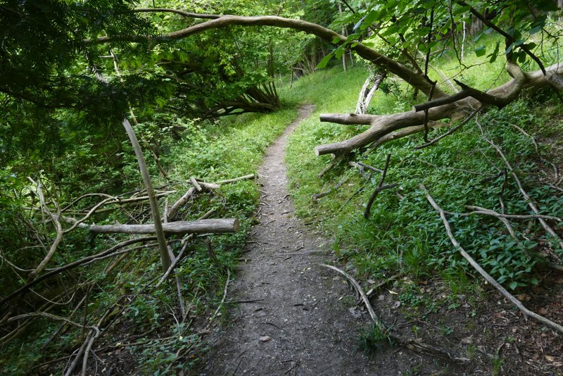
The path through the wood after I went right at a path junction
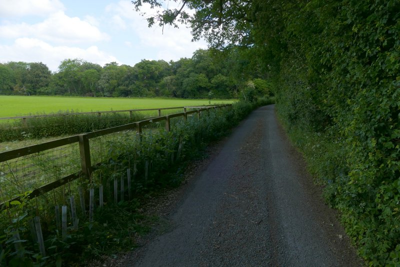
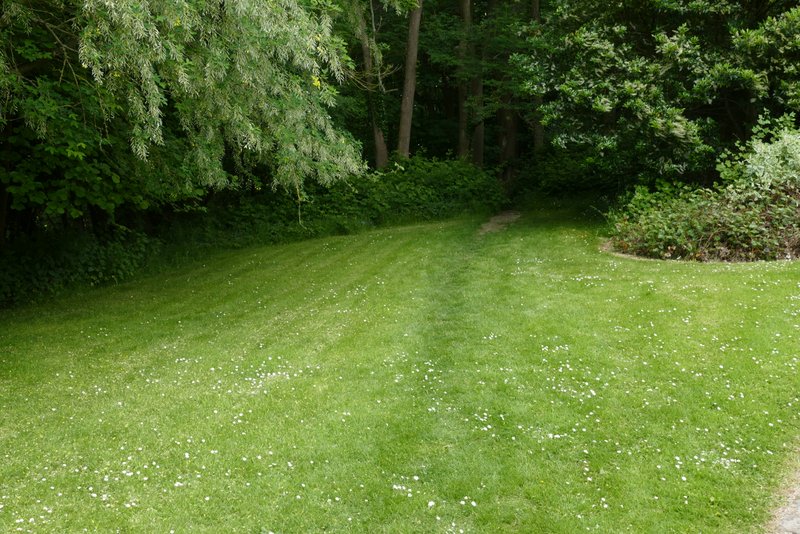
The same path dropping down Killdown Bank towards the main road
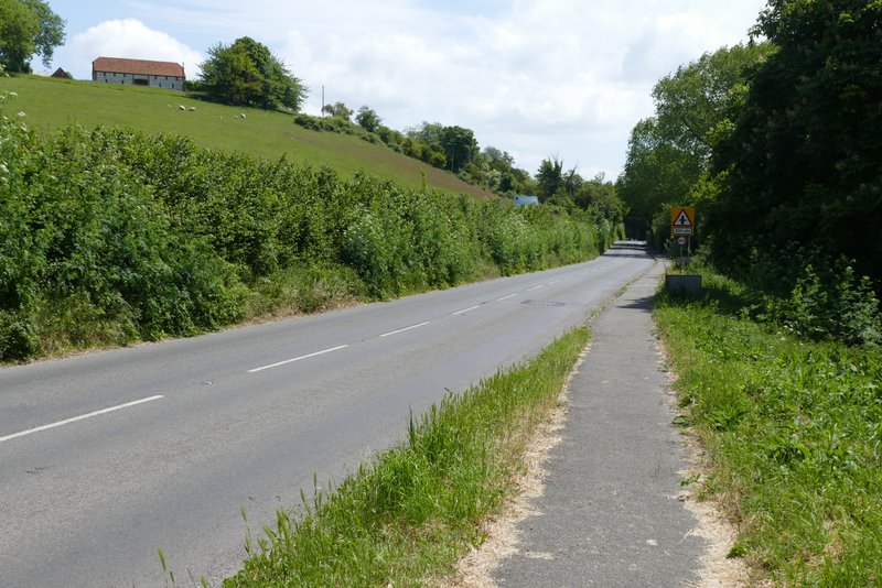
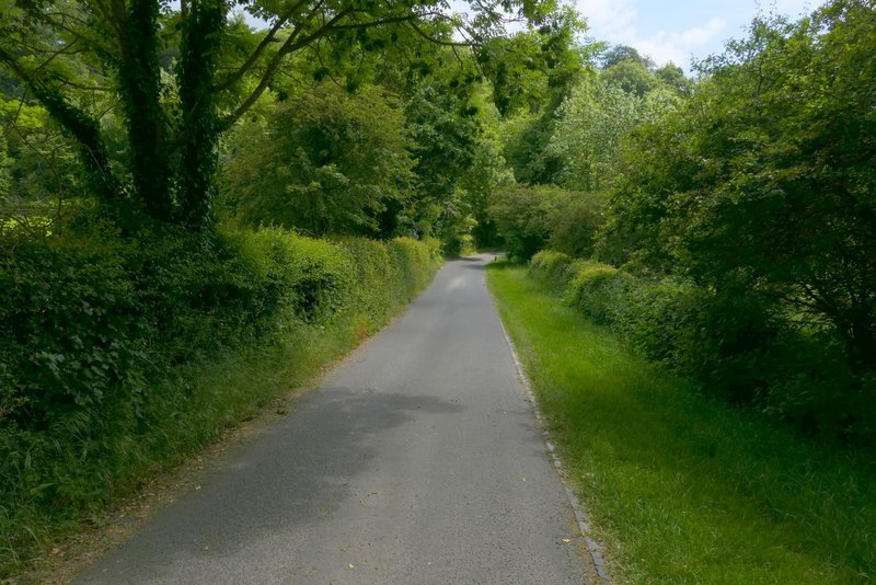
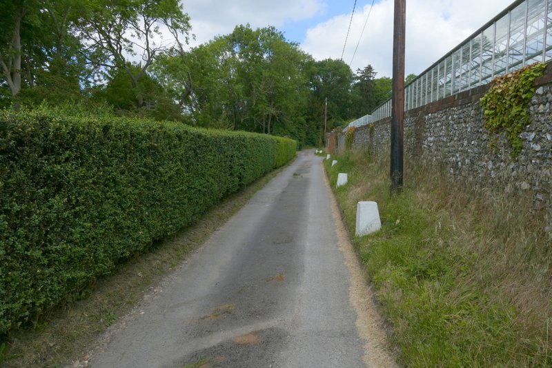
The A4155 heading into Medmenham
I turned left at a road junction straight after the historic Dog and Badger pub, but almost immediately took a footpath on the right which climbed uphill through another wood. At the top of the slope there was an information board about an iron-age hill fort here (Medmenham Camp), but I couldn't really see anything. A short way further on through the wood (just after passing another information board), the path reached a track or drive, where it turned left, crossed a driveway, and soon ended at a private road or drive, where I turned right.
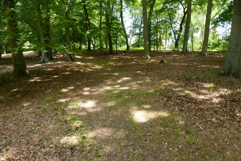
Medmenham Camp, an Iron Age hillfort
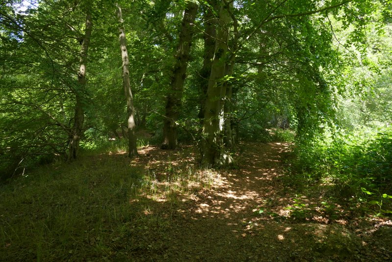
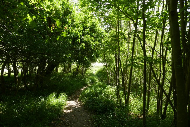
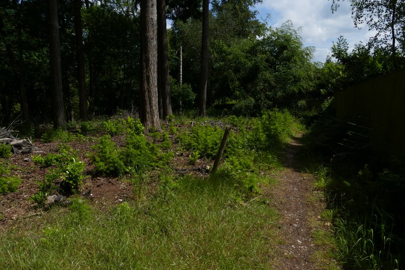
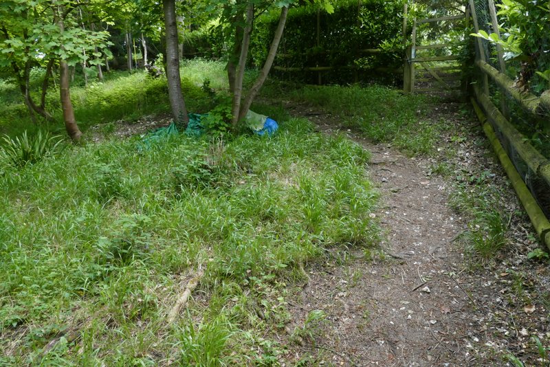
The path from Medmenham
The path from Medmenham after it turns left along a track or drive
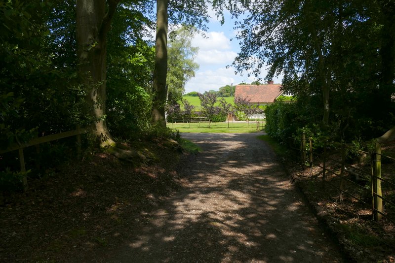
I followed the drive for several hundred yards, passing two fields on my left. Just before the drive reached some large metal gates, a bridleway forked left and soon followed a wall on the right. After a short distance the bridleway passed in front of a house on the left, continuing straight on down its drive. A little way after the drive turned right, I took a footpath going very sharply left, almost doubling back on myself. This ran along the bottom of some woodland that sloped up to my right, and soon there was a large green field just to my left. Close to the far end of that field I came to a path junction where I turned right and went a short way uphill to reach a surfaced drive where I turned left. I followed the drive three or four hundred yards, until the footpath forked slightly left across some grass (just before some gates across the drive) to enter Hog Wood.
The bridleway along a drive, near Medmenham
The bridleway after turning left from the drive
The bridleway after it joins another drive
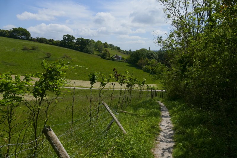
Further along the bridleway
The start of the footpath going sharp left from the drive
Further along the same path
The footpath going uphill after I turned right
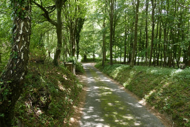
The drive after I turned left at the end of the footpath
The next path entering Hog Wood