Pete's Walks - Stoke Row, Satwell, Nettlebed (page 4 of 5)
If you are considering walking this route yourself, please see my disclaimer. You may also like to see these notes about the maps and GPX files.
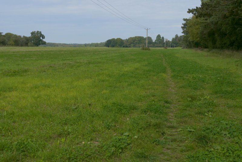
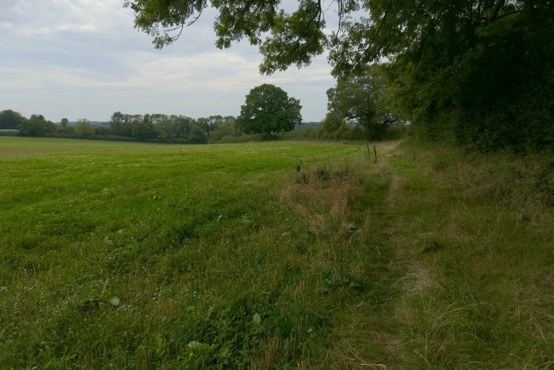
After about half a mile the bridleway ended at a road (yes, the B481 yet again!). Across the road I continued down another bridleway (named Deadman's Lane on the OS map) that started down a farm drive then continued through a tree belt. I soon came to a point where a footpath crossed the bridleway, where I went right. Leaving the tree belt, I crossed a farm track and continued along the rather faint path, initially running parallel to a tree belt to the right of a very large field, then gradually moving away from the tree belt as it crossed the field. It was almost half a mile across the field, where I passed a small group of trees just before I reached the opposite corner. Here I turned right at a path junction. I now followed a surfaced drive towards Nettlebed, the path then going through a gate on the right (by the Cheese Shed on my left) and switching to the other side of a wall as it passed Nettlebed church. On reaching the main road through Nettlebed (the A4130), I crossed over and took a footpath on the other side, which ran alongside garden fences on my right with a field to my left, then continued through some allotments.
The bridleway continuing through Highmoor Common Wood
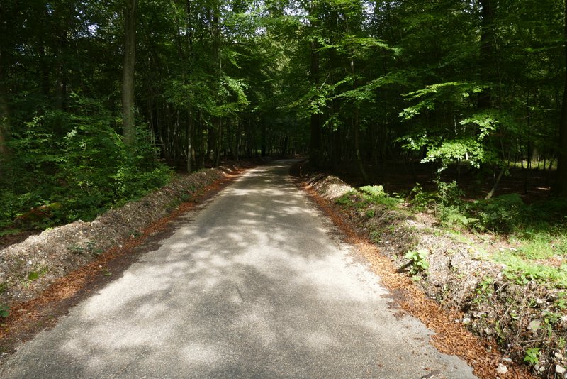
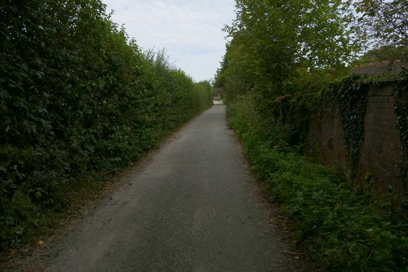
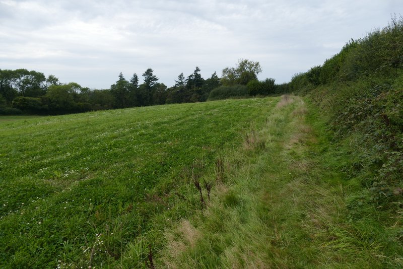
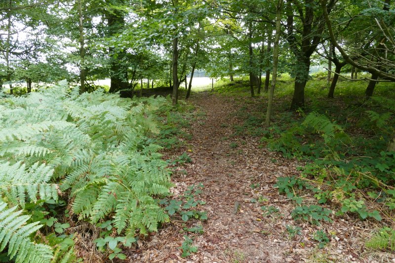
Deadman's Lane
Deadman's Lane
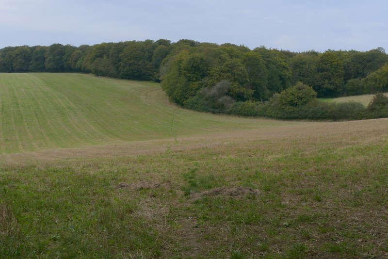
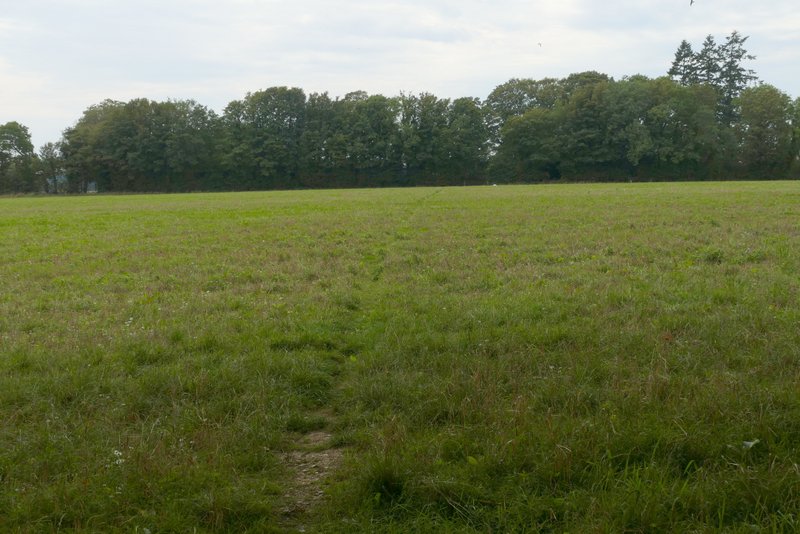
The path going north-northwest to Nettlebed
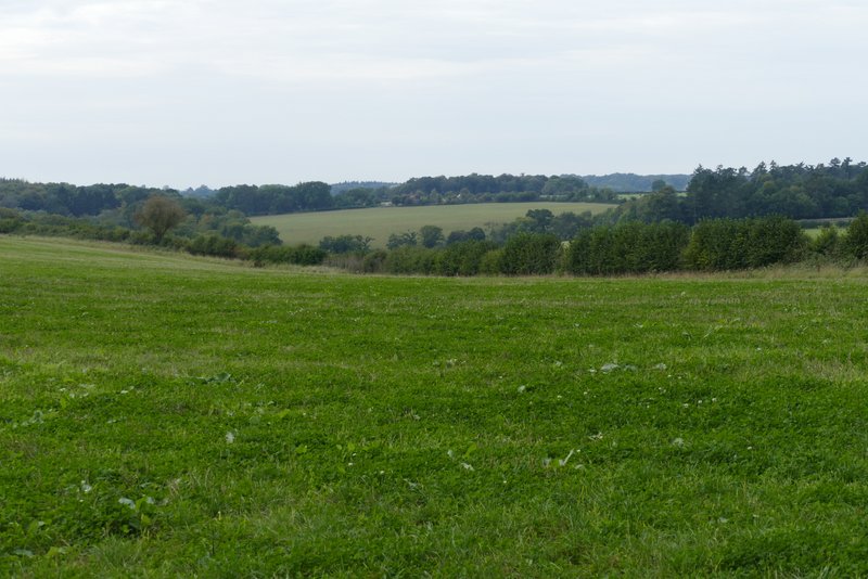
View from the path going north-northwest to Nettlebed
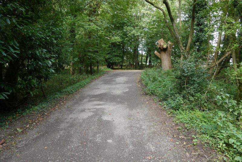
The path along the drive, heading into Nettlebed
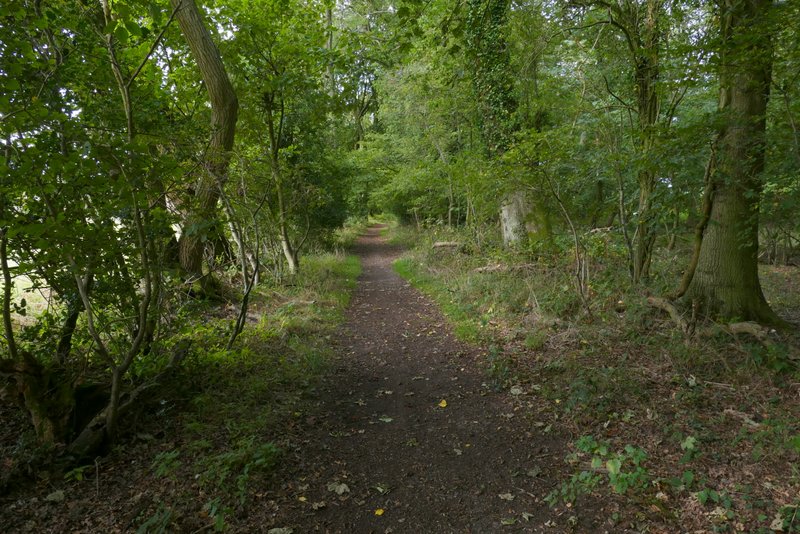
The path after I crossed the road in Nettlebed
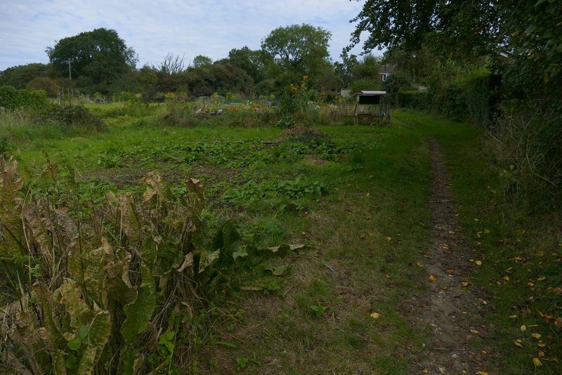
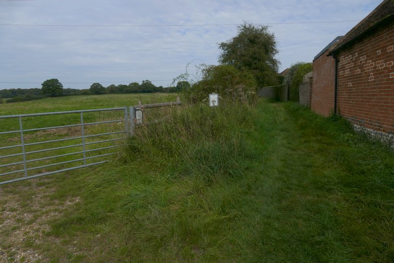
The path continuing through the allotments
When the path ended at a road, I took a byway starting immediately on my left, forking left from the road. I soon passed an impressive old pollarded Beech tree here. I kept straight on where another byway went right, then a little further on I took a path on the left that went through a hedge gap and turned right, following a long hedgerow on my right. After a while this turned right, left and right again. On reaching a field corner (where another path went left, to reach the A4130), the path went straight on across part of a field to the near end of a wood (in February 2019 there had been no sign of the path so I had just followed the curving edge of the field instead). The entrance where the path went into Groveridge Wood was clear enough, and I followed the path through the wood until I reached a path crossroads where I turned left - this was further into the wood than my OS map showed, in fact the path I followed (indicated by white arrows on trees) seemed to be the one shown as a dotted black line on the map, rather than the green dotted line of the public footpath. Having turned left at the crossroads, I followed a track through the wood, which fairly soon turned slightly right. An arrow showed where the public footpath went left from the track, soon reaching the edge of the wood. A path then crossed a field (the same one I crossed to reach the wood, and where I saw more Common Field Speedwell, Field Pansies and Scarlet Pimpernel) to reach the A4130 main road.
The byway going northwest from Nettlebed
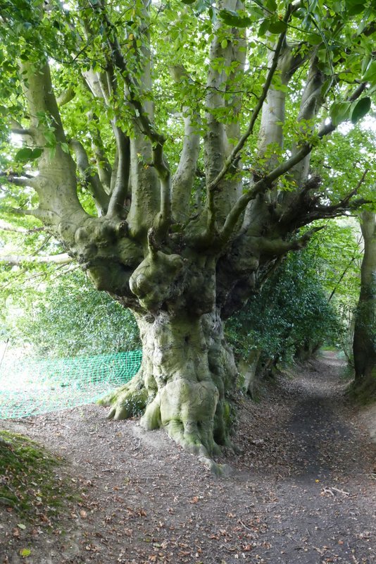
Old pollarded beech tree on the edge of Nettlebed
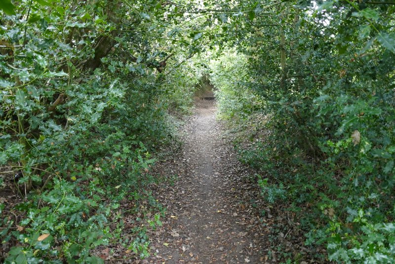
The path after I turned left from the byway
Further along the same path
The path crossing part of a field to reach Groveridge Wood
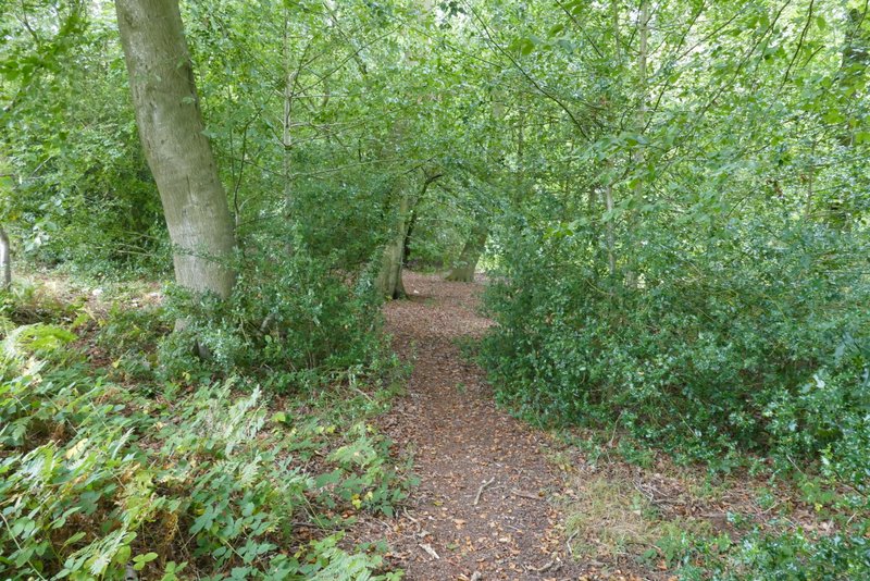
The path through Groveridge Wood
The path through Groveridge Wood after I turned left - the footpath seems to now follow what the OS map shows as a dotted black line
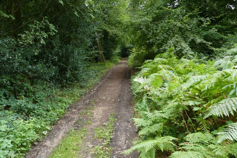
The path just before it leaves the wood
The path continuing from Groveridge Wood, to the A4130 main road