Pete's Walks - Stoke Row, Satwell, Nettlebed (page 3 of 5)
If you are considering walking this route yourself, please see my disclaimer. You may also like to see these notes about the maps and GPX files.
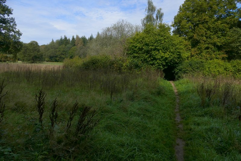
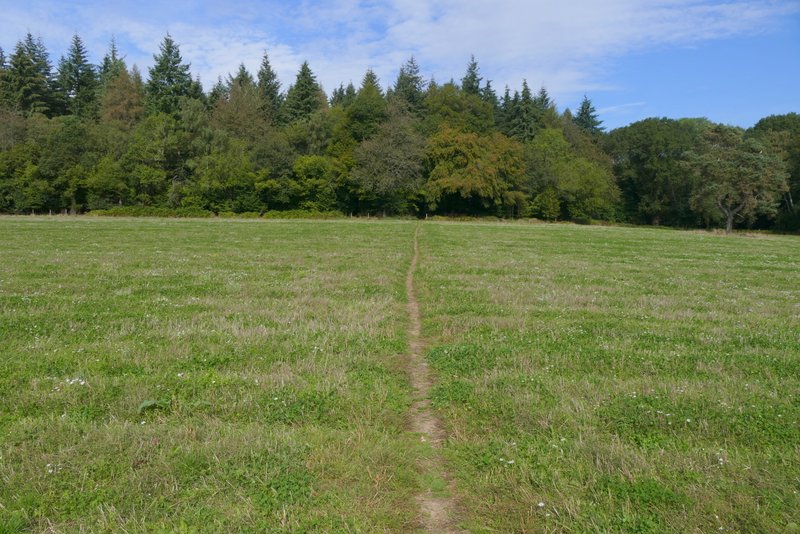
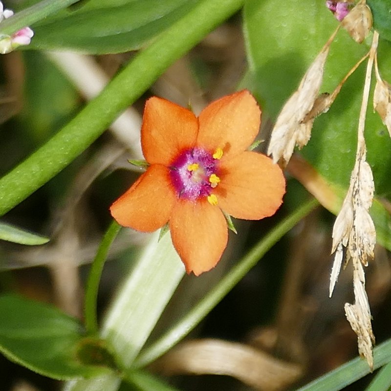
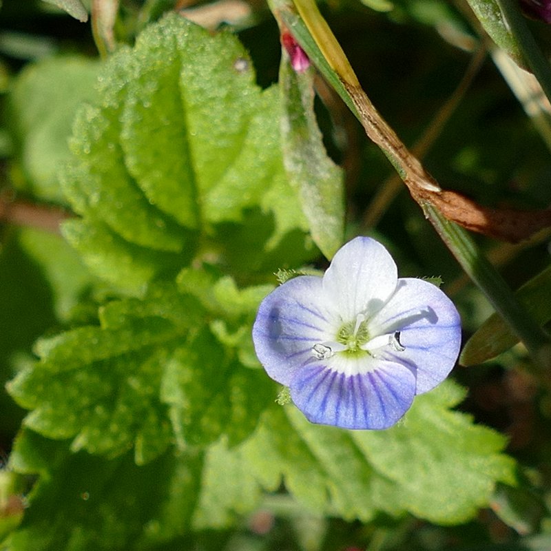
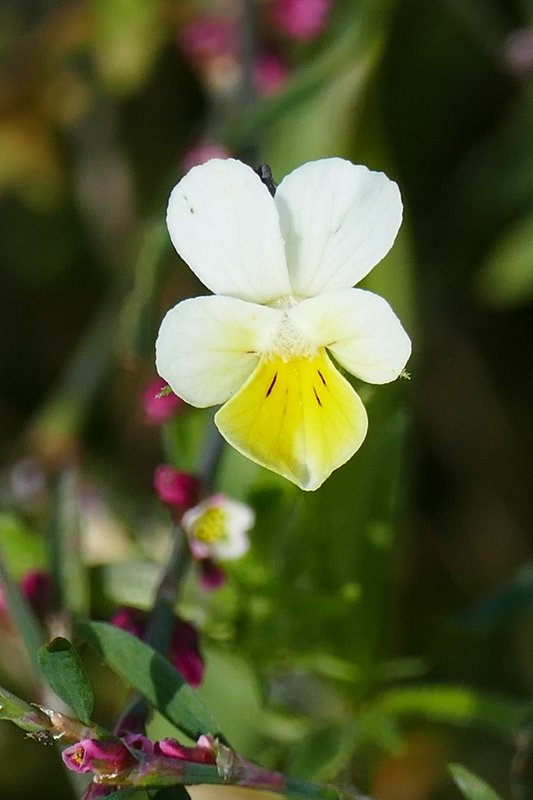
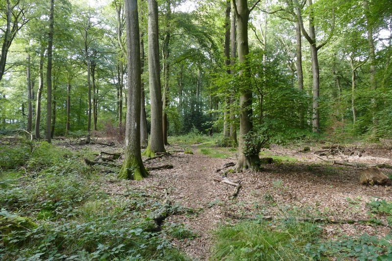
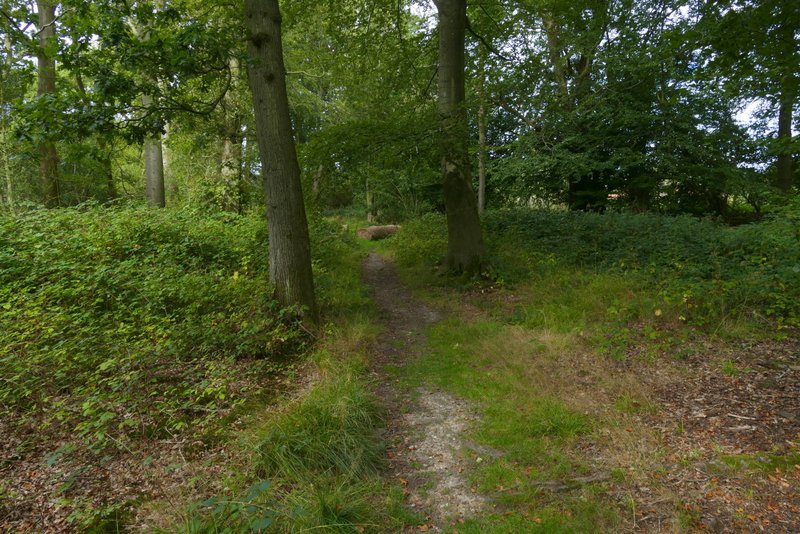
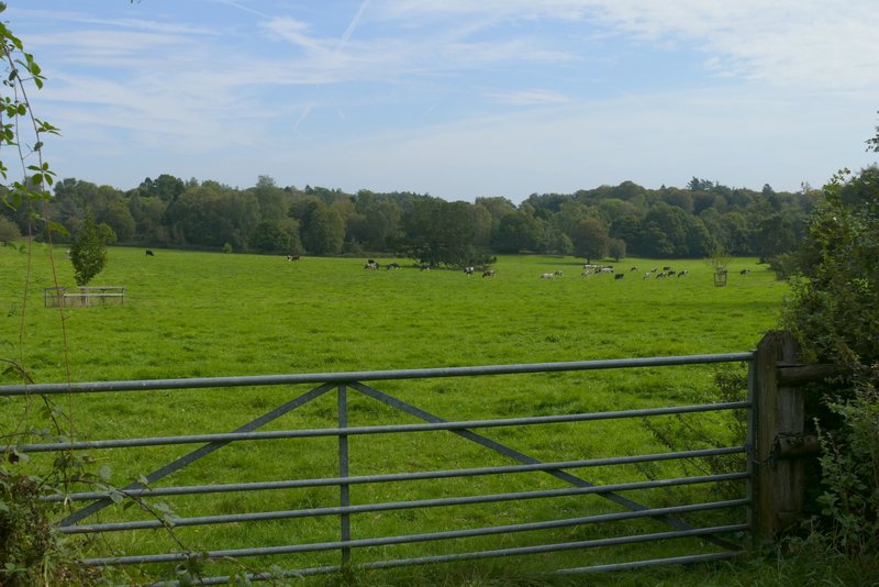
Across the lane a path continued across a grassy field, passing through a small area of bushes after a few yards and then passing near a solitary tree, to reach a large wood called Holly Grove - I spotted several wildflowers in this field, including Common Field Speedwell, Field Pansy and Scarlet Pimpernel. Just a short way into the wood the path ended at a path T-junction, where I turned left. After about a hundred yards a waymark post indicated another path junction, where I forked right. I managed to go wrong somewhere along this path, at an apparent fork - a white arrow seemed to indicate I should fork left along a very faint path, but then I thought I saw another white arrow just along the much clearer path forking right. Having taken the right fork and eventually realised I'd gone wrong, on retracing my steps to the fork I realised the second 'white arrow' was just a shadow (or hole in a shadow, to be exact). Having followed the correct (left) fork (there was at least one genuine white arrow along it), the path brought me to a path junction by a gate or stile on the southwestern side of Holly Grove, next to the B481.
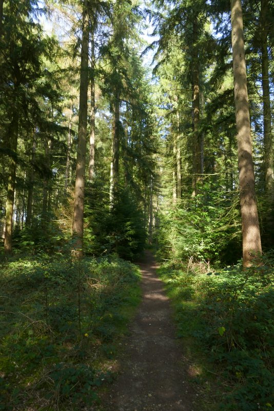
The path from Rocky Lane to Holly Grove
The path from Rocky Lane to Holly Grove
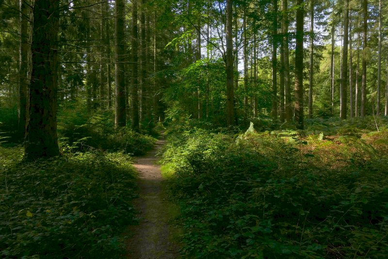
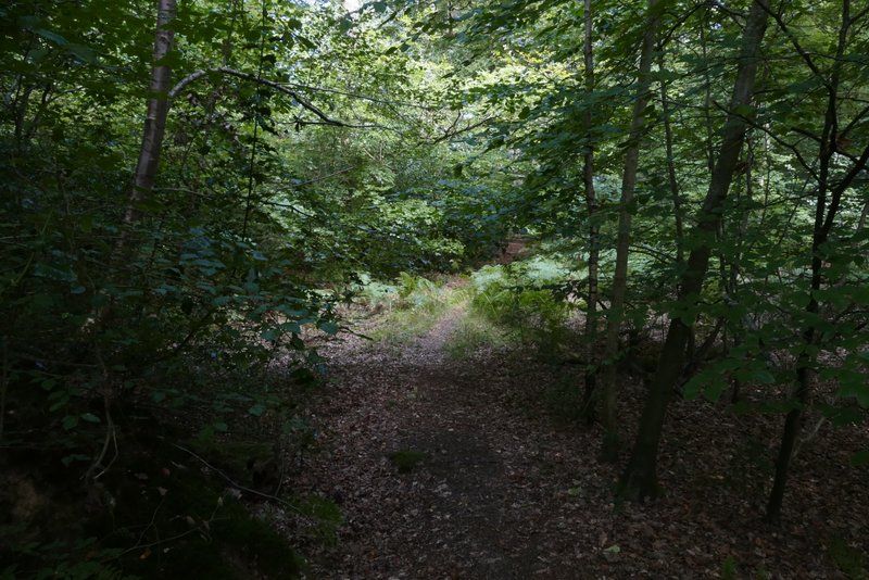
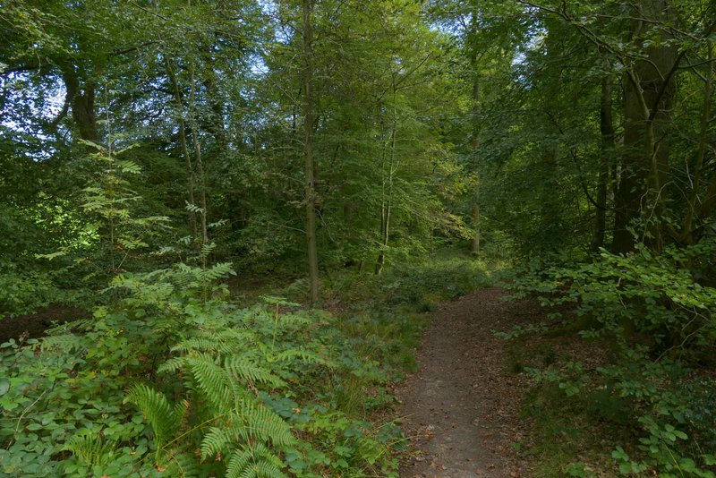
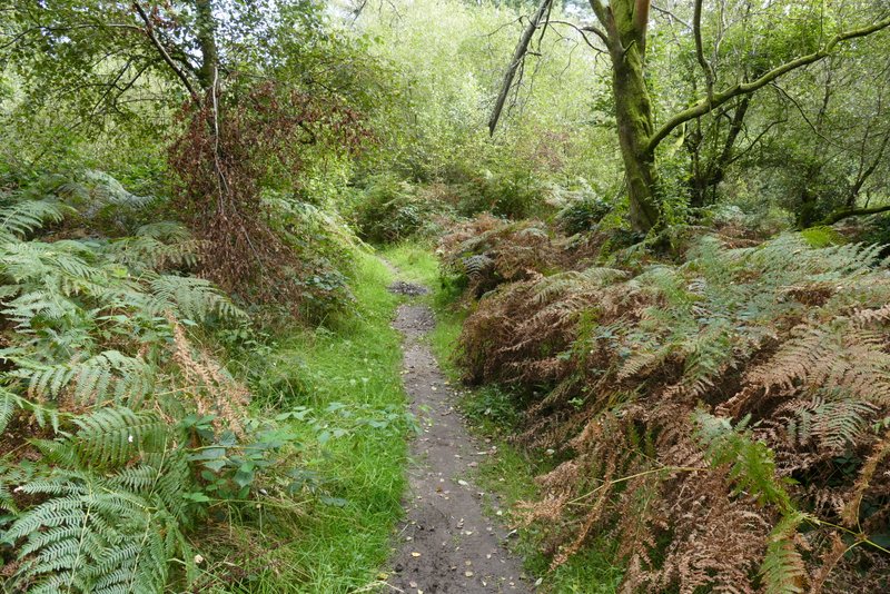
The path continuing into Holly Grove
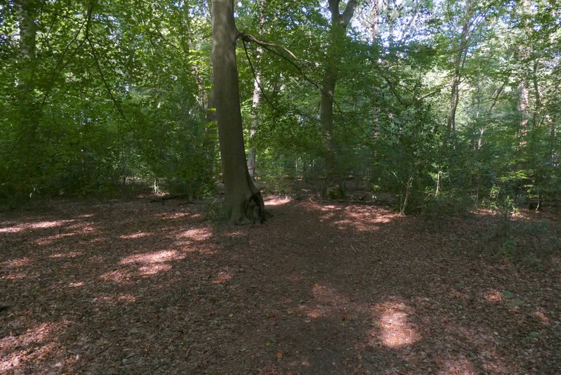
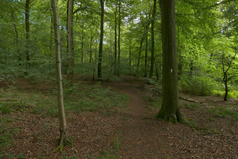
The path after I turned left in Holly Grove
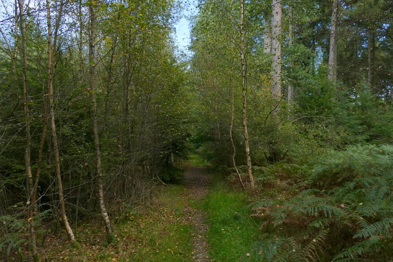
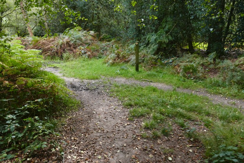
The path after I forked right in Holly Grove
The path after I forked right in Holly Grove
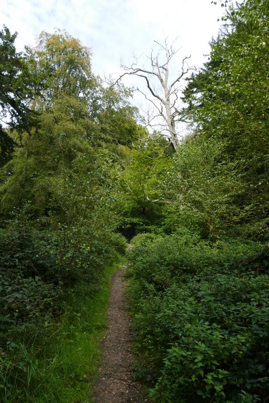
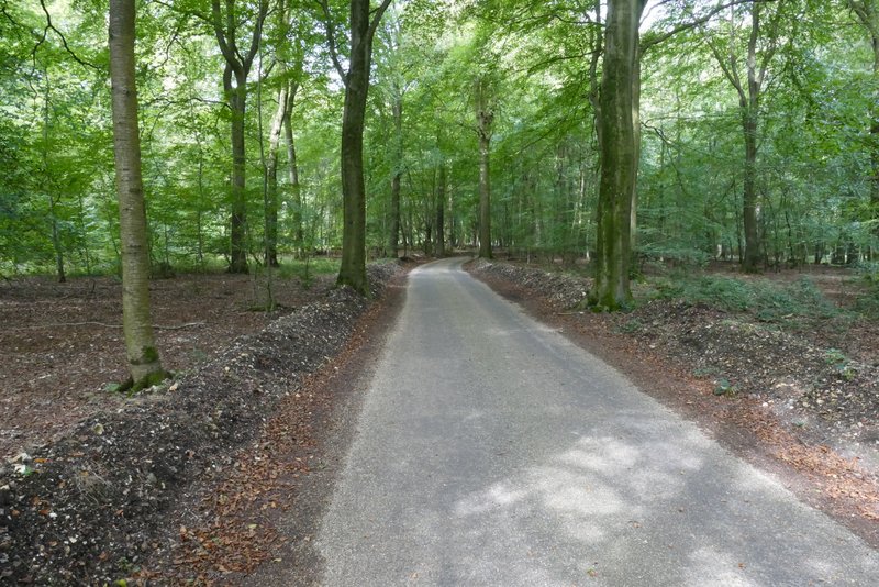
Instead of going to the gate, I turned sharp right here, following another straight path back through more of Holly Grove. After a while there was an area of conifers on my right. On reaching a path T-junction I turned left, this path now running through yet another nice area of beech trees. I soon passed close to a field on my left. Further on I came to another path junction where I turned on to a path going right (the B481 was just a short distance ahead of me at this point, where I was at the northwestern tip of Holly Grove). This path initially ran close to fields over to my left, before curving further right, back towards the centre of Holly Grove. After I had followed it for about a third of a mile, it went left along a track (the track is not shown on the map, and last time I was here I was confused into thinking I'd reached the next junction).
The path after I turned right in Holly Grove (at the path junction by the road)
Further along the same path
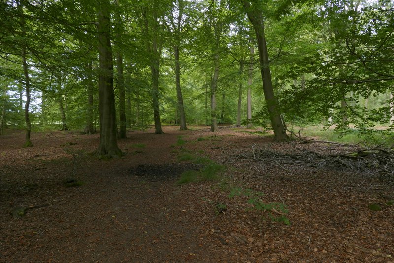
The path after I turned left in Holly Grove
The path after I turned left in Holly Grove
The path after I turned right in the northwest corner of Holly Grove
The path continuing eastwards through Holly Grove
The path continuing eastwards through Holly Grove (this is where it turns left onto a small track)
The path continuing eastwards through Holly Grove
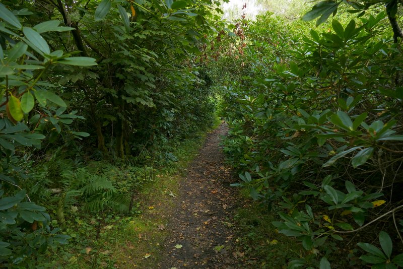
I soon came to a path crossroads, where I turned left onto a bridleway, passing through an area of Rhododendrons and then going by a pond on my left. I then finally left Holly Grove, continuing along a track with a wooden fence on my right, beyond which was some park land. The track brought me to the small settlement of Lower Highmoor where the bridleway entered Highmoor Common Wood. I went straight on where the bridleway crossed a byway, the bridleway now running along a surfaced drive through the attractive beech wood.
The bridleway after I turned left
Further along the bridleway
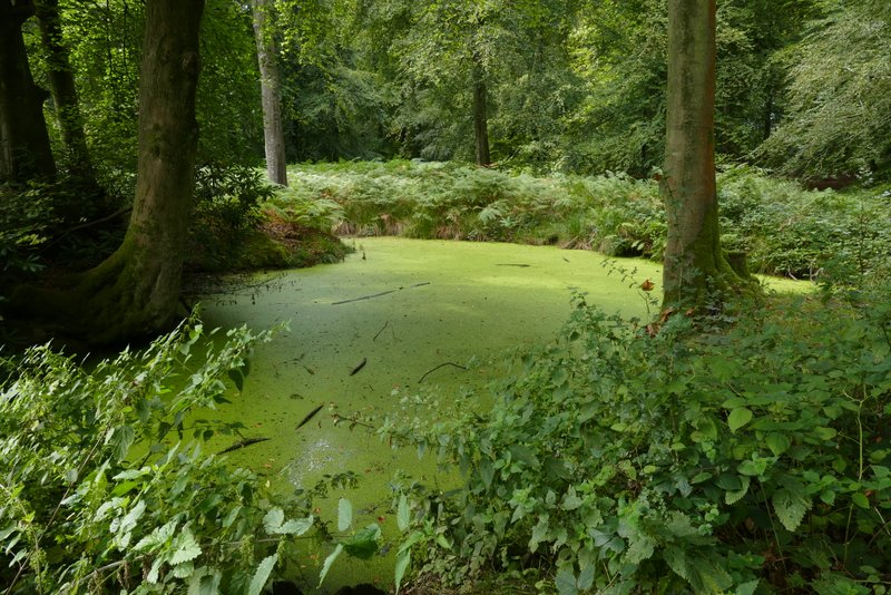
Pond in Holly Grove
View right from near Lower Highmoor
The bridleway continuing through Highmoor Common Wood