Pete's Walks - Shortened version of Ashridge Estate Boundary Trail (page 3 of 5)
If you are considering walking this route yourself, please see my disclaimer. You may also like to see these notes about the maps and GPX files.
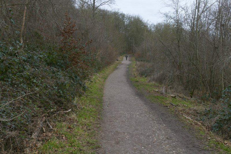
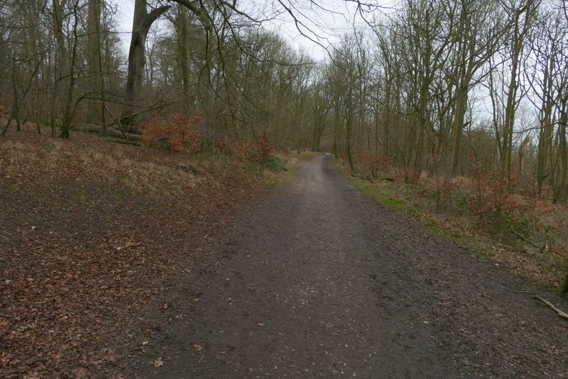
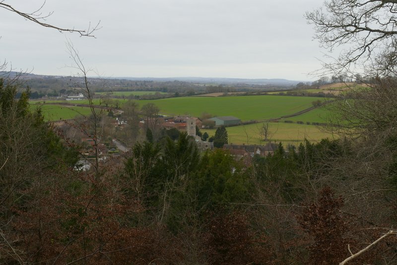
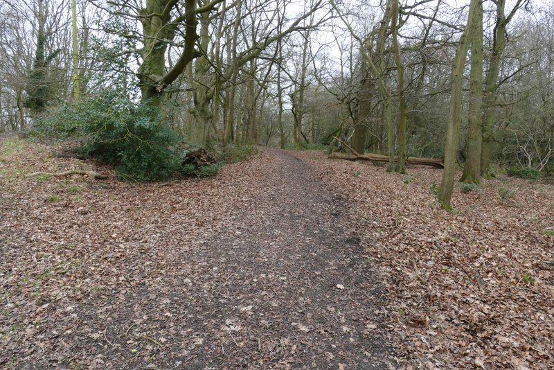
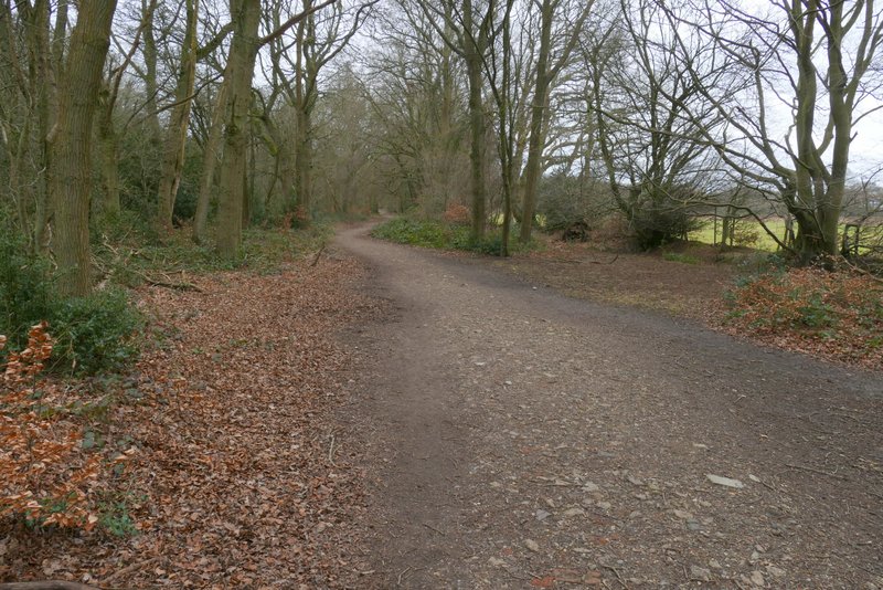
I turned right and followed the track, which soon passed a kennels near the top of Clipper Down. I continued on the track for about another mile as it ran through the woods of Ashridge, with a steep slope on my right. I passed one or two spots where there were nice views out to my right, towards Aldbury and its environs. Further on I passed a wooden chalet and then the ancient burial mound on Moneyburyhill (where there was a noticeboard) - last time I did this walk the burial mound was badly overgrown and hard to make out, it was much easier to recognise today. It was then just a few hundred yards before the track brought me to the Bridgewater Monument.
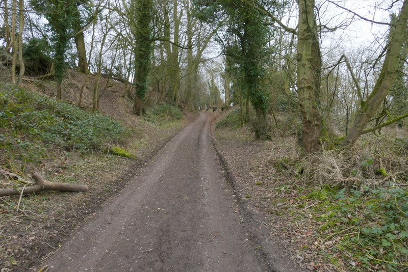
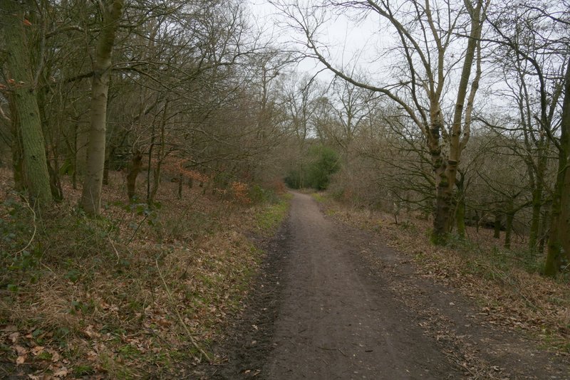
The long track to the Bridgewater Monument at Ashridge, approaching the kennels at Clipper Down
The long track to the Bridgewater Monument at Ashridge (shortly after the kennels)
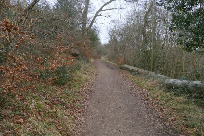
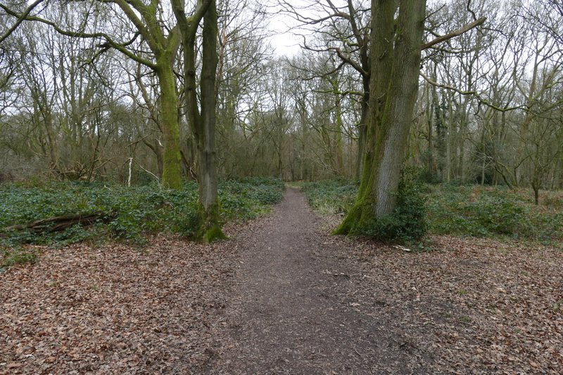
The long track to the Bridgewater Monument at Ashridge
View towards Aldbury, from the long track to the Bridgewater Monument at Ashridge
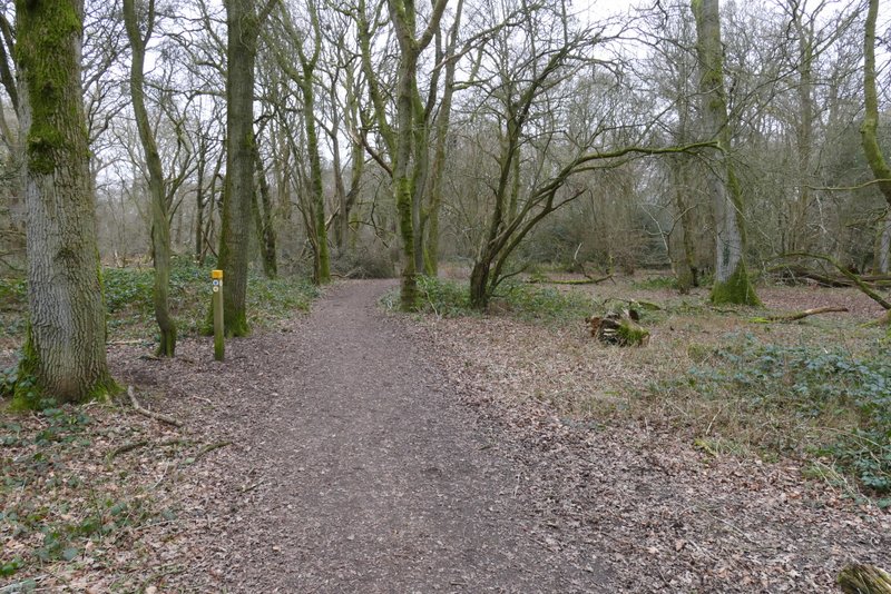
The long track to the Bridgewater Monument at Ashridge
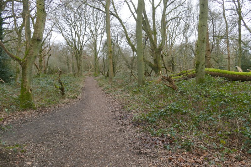
The long track to the Bridgewater Monument at Ashridge
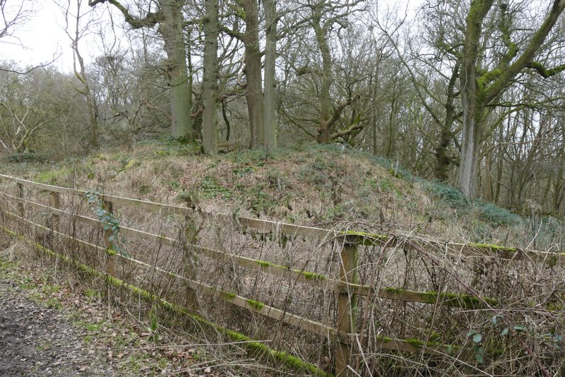
The Bronze Age burial mound at Moneybury Hill, beside the long track to the Bridgewater Monument at Ashridge
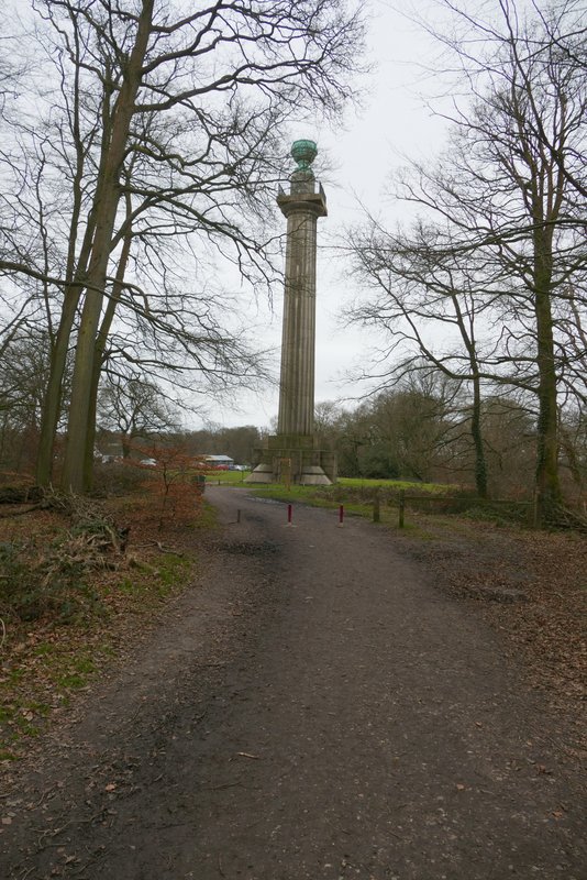
The Bridgewater Monument at Ashridge
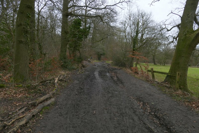
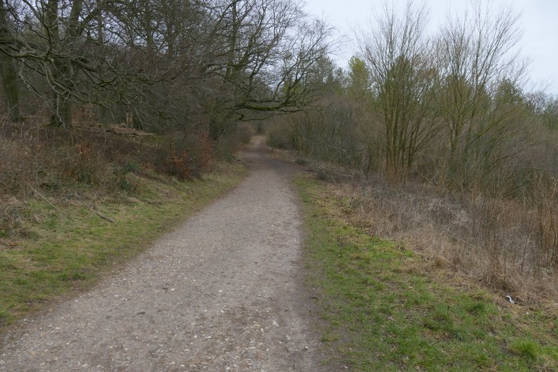
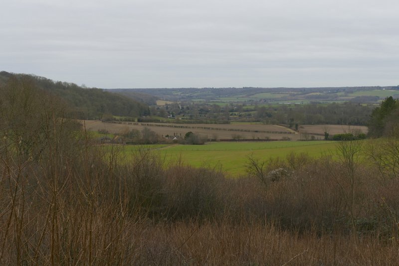
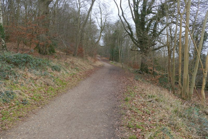
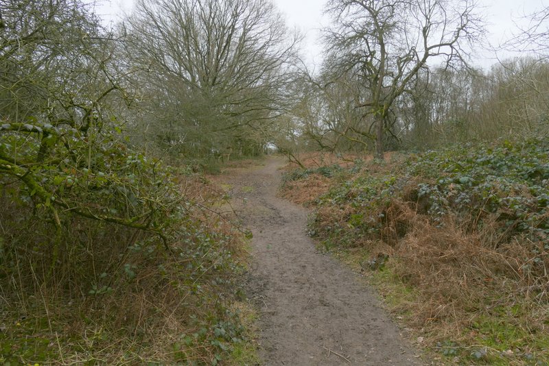
The large grass area in front of the monument had been temporarily roped of to preserve it, so I had to take a detour of two or three hundred yards around it and on the far side of the monument continued along a bridleway that, after another path went left, re-entered the woods and started to descend towards Aldbury. After about a quarter of a mile, I came to a fork in the bridleway, where I kept left (straight on, really) instead of going down to Aldbury. This bridleway ran level through the woods for about half a mile, with a nice view to the right at one point, looking out over Aldbury. On reaching a junction, I went a few yards right, then turned left, following a narrower bridleway through the trees that crossed a drive and soon reached a road near Tom's Hill (NOTE: the waymarks for the Ashridge Estate Boundary Trail incorrectly seemed to indicate that you should go left instead of right at the first junction, and then turn right along the drive before turning left where I crossed the drive - I've checked the printed map I have, and the way I went is correct). I continued along the bridleway on the other side, keeping straight on for about another half mile (as usual following the waymarks for the Ashridge Estate Boundary Trail). I then came to a junction, where I went slightly right for a few yards, then turned left at a waymark post and (after another path came in sharply from the left) soon reached the huge open grassland part of Northchurch Common.
The bridleway from the Bridgewater Monument down to Aldbury
The bridleway after I forked left from the bridleway to Aldbury
View right, over Aldbury
Further along the bridleway
The bridleway after I turned right and then immediately left
The same bridleway after crossing a drive
The bridleway continuing after I crossed the road (near Tom's Hill)
Further along the same bridleway
Further along the same bridleway
The path approaching Northchurch Common