Pete's Walks - Shortened version of Ashridge Estate Boundary Trail (page 4 of 5)
If you are considering walking this route yourself, please see my disclaimer. You may also like to see these notes about the maps and GPX files.
I turned right along the very edge of the common (there was a broader path just to my left). In a corner the path went straight on, back into the trees and soon bearing very slightly left. On reaching another corner of the grassy part of the common the route went half-right, through a more open area of bushes and occasional trees, with a valley dropping down to my left - as usual, I just had to follow the waymarks (green arrow with white footprint in it). At one point the path took a right fork (shown by a waymark on a post). The path then re-entered the trees and turned left, now following the southwest edge of Northchurch Common with fields just a few feet to my right. The path dropped down into a valley and rose a short distance up the other side before levelling out, still staying close to the fields on my right. Somewhere along here I met a lady walker coming the other way and we stopped and chatted for a few minutes about various walks we had done. The path then dropped downhill into another small valley, where I turned left along a drive (coming from a property named "Goreseside's" on the OS map)
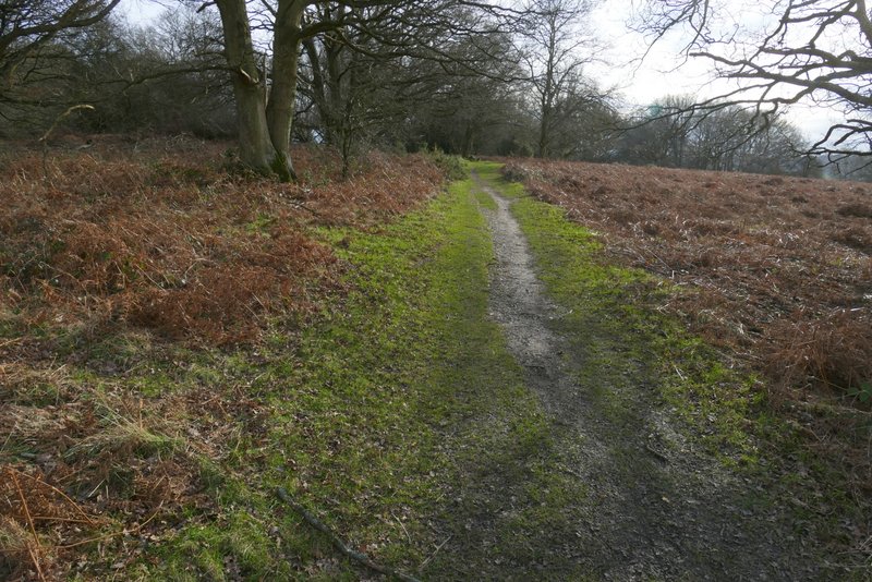
Path on the edge of Northchurch Common
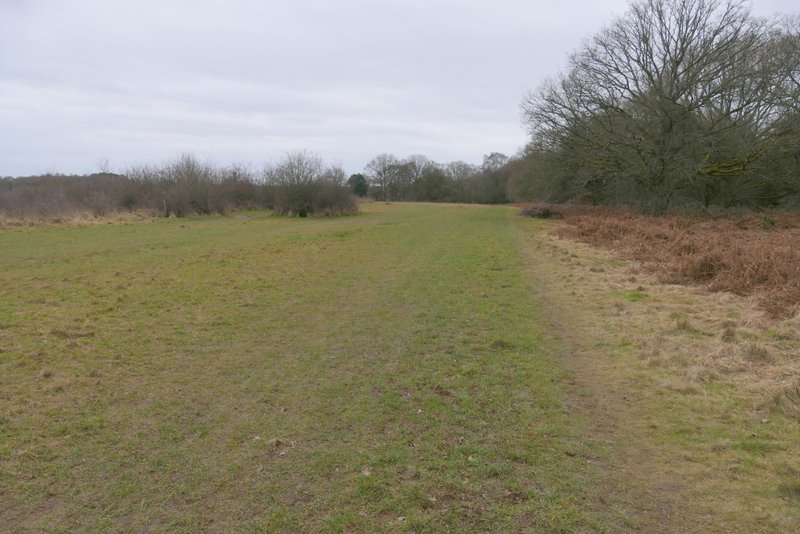
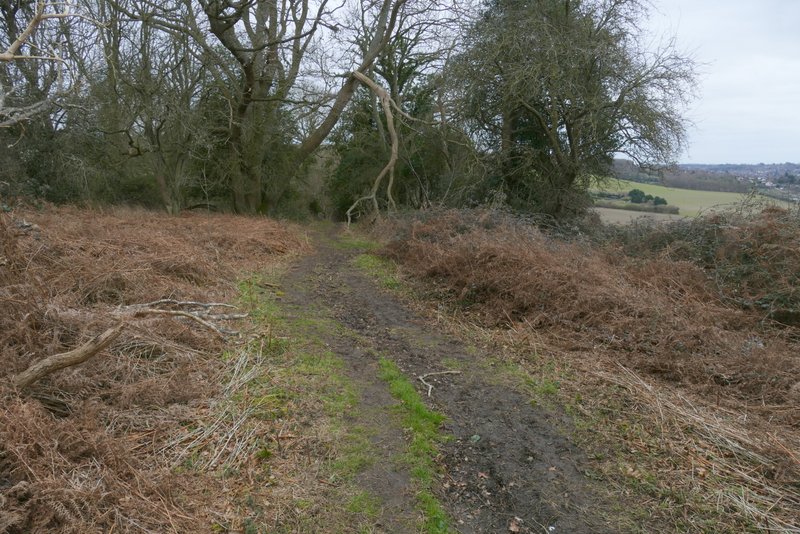
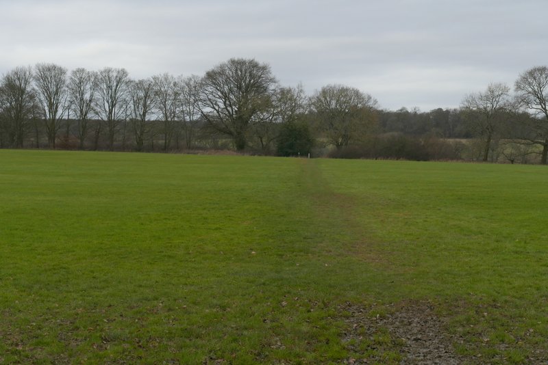
The path on Northchurch Common
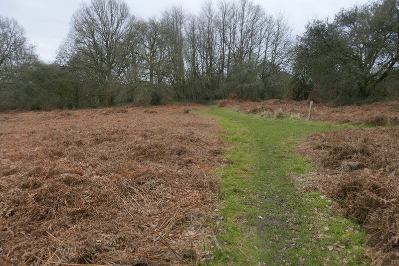
The path on Northchurch Common (shortly before it enters the trees and turns left)
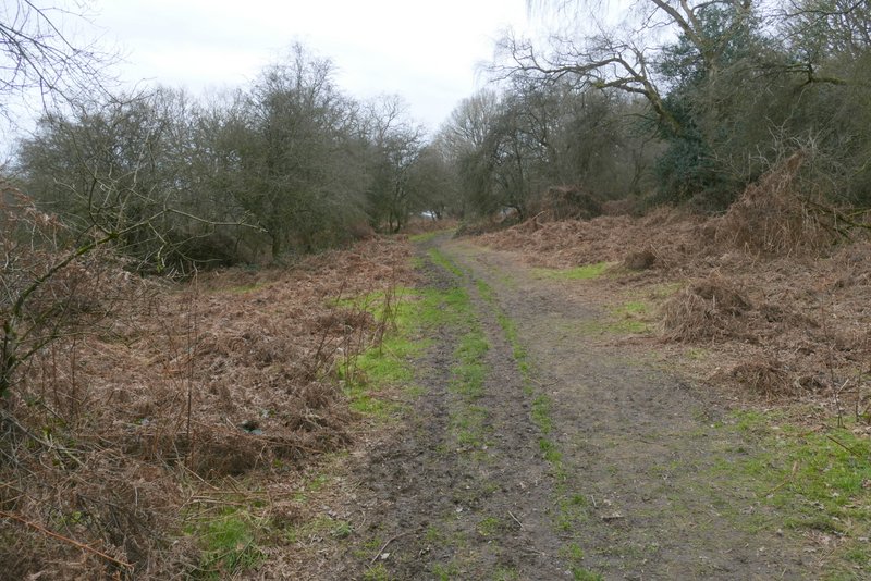
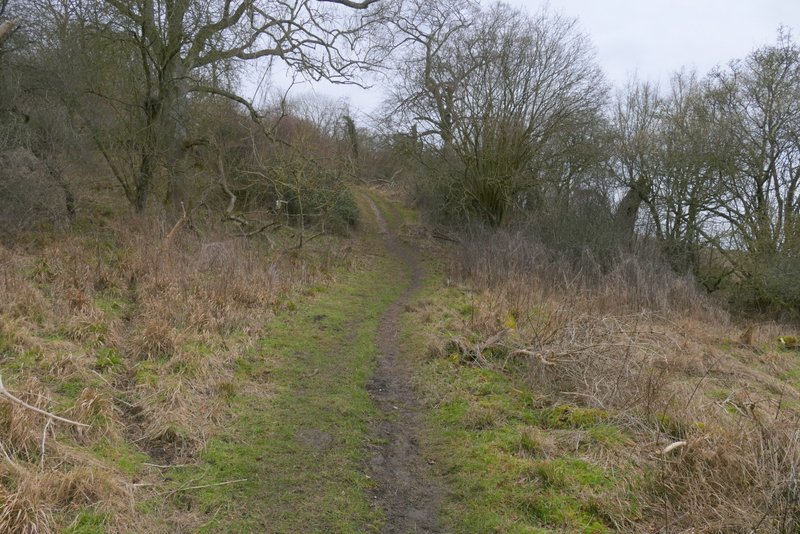
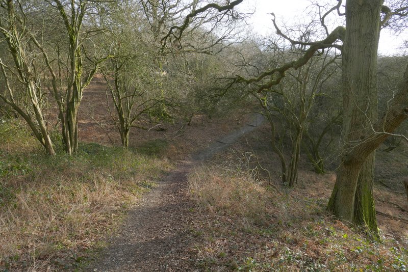
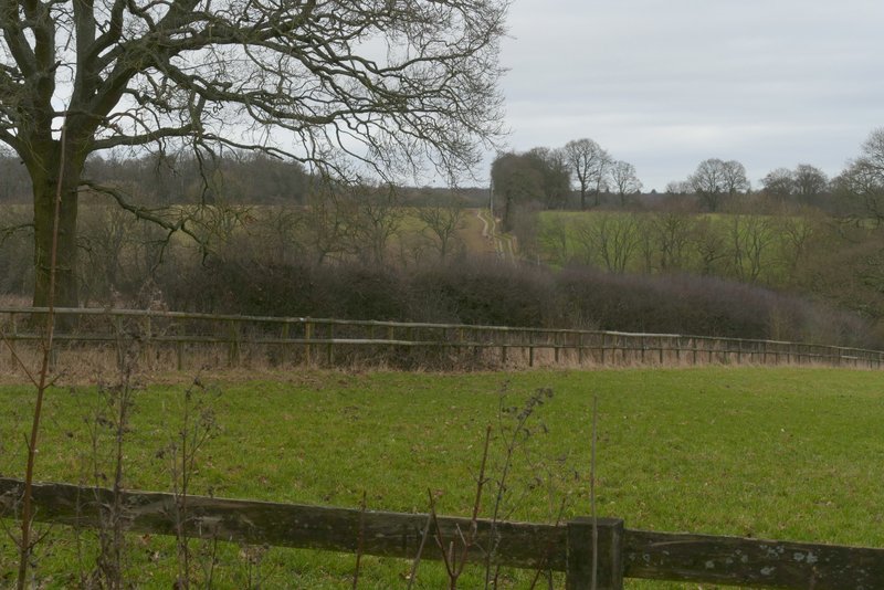
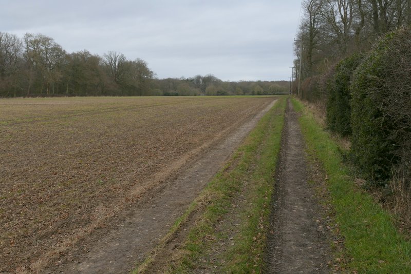
The path along the wooded southwestern edge of Northchurch Common
The path along the wooded southwestern edge of Northchurch Common
The path along the wooded southwestern edge of Northchurch Common
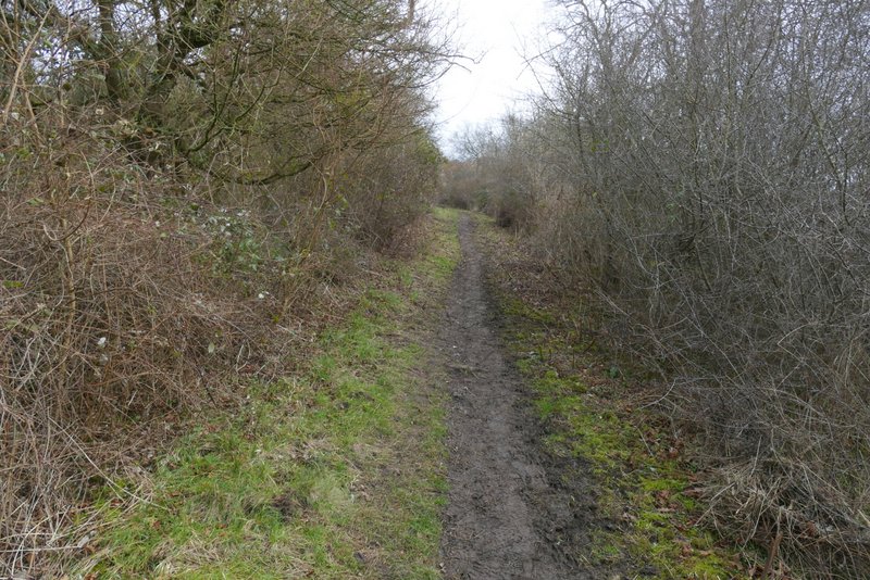
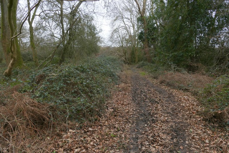
The path along the wooded southwestern edge of Northchurch Common
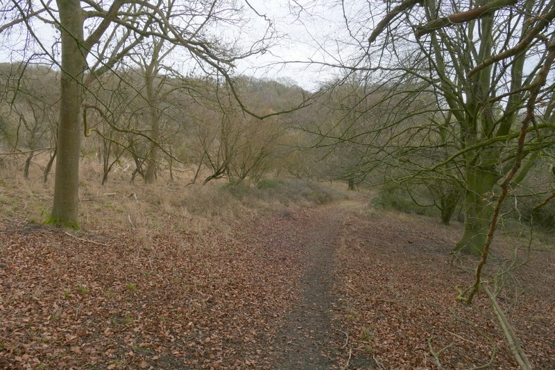
The path along the wooded southwestern edge of Northchurch Common
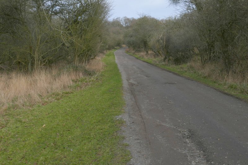
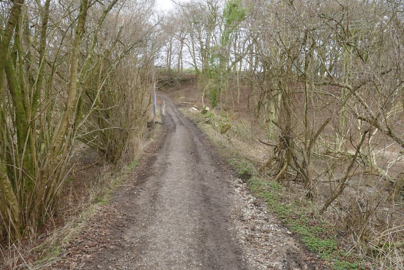
The drive from "Gorseside's"
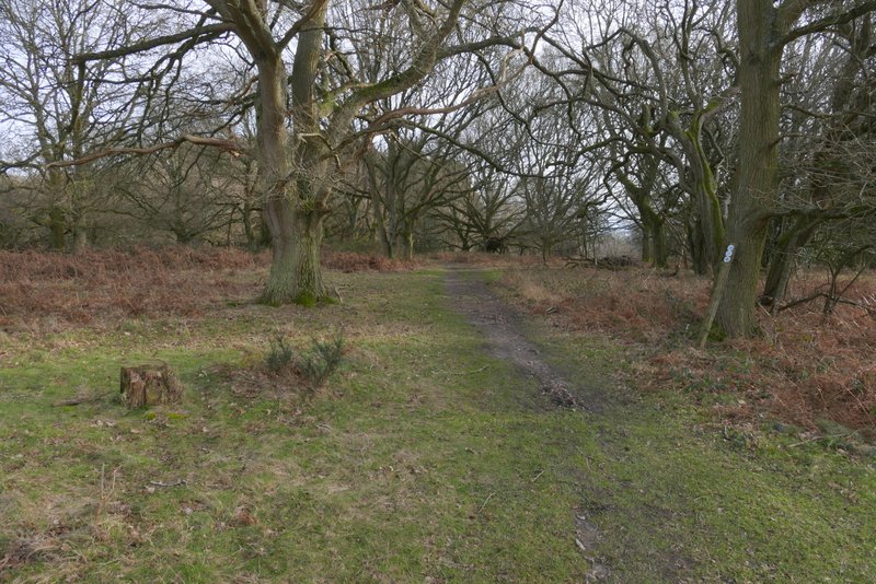
I followed the drive gently uphill for three or four hundred yards, then took a short bridleway on the right that quickly brought me to the Ringshall to Northchurch road. Across this, I continued half-right, soon keeping left at a bridleway junction, and then stopped to sit on a convenient tree stump to eat my packed lunch. The bridleway took me to the drive to Northchurch Farm, where I turned left and followed the drive past the farm. At an open gate (at the end of the farm buildings, where the drive turns right), I took a path forking left which soon crossed what I think is a Polo field (the path I'd forked left from goes round two sides of this). On the far side, I went a few yards left and turned right, continuing between a hedge and a wooden fence on my right. Over a stile, the path continued down a track which soon turned left and then right, carrying on for another straight half mile, beside a huge field (on my left). On finally reaching a field corner, the path continued half-left across a meadow to reach Coldharbour Farm.
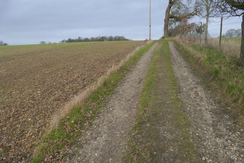
The short bridleway to the road, after I turned right from the drive
The bridleway across the road, just before I turned left to head to Northchurch Farm
The bridleway after I turned left to head to Northchurch Farm
The path across what I think is a Polo pitch
View ahead from the far side of the Polo pitch
The path continuing from the Polo pitch
The path continuing towards Coldharbour Farm
The path continuing towards Coldharbour Farm
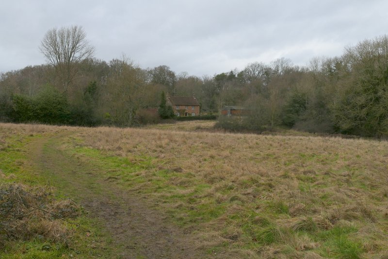
The path approaching Coldharbour Farm