Pete's Walks - Shortened version of Ashridge Estate Boundary Trail (page 5 of 5)
If you are considering walking this route yourself, please see my disclaimer. You may also like to see these notes about the maps and GPX files.
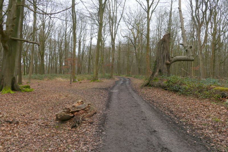
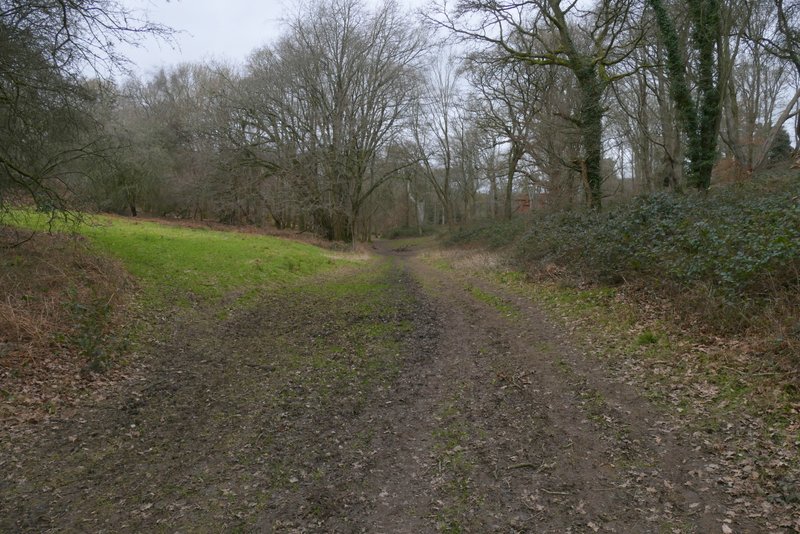
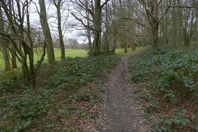
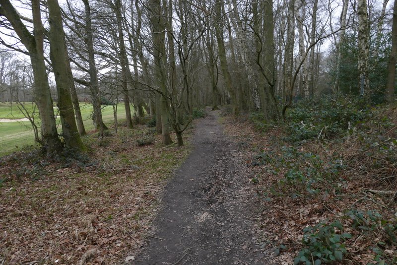
Just beyond Coldharbour Farm the Ashridge Estate Boundary Trail turns right, but I left it here and went straight on, following a bridleway along a roughly-surfaced drive, that curved slightly left as it descended gently through the trees of Berkhamstead Common - that's the spelling on the OS map, whereas it's marked Berkhamsted (one 'a', as in the name of the nearby town) Common about a mile to the east of here. Just past Woodyard Cottages I reached the corner of a large pasture (there are sometimes a few cattle in it) surrounded by trees. Rather than take a footpath that runs through part of this pasture, I followed a roughly parallel path just inside the trees, with a fence to my left. After three or four hundred yards, where the fence turned left, I forked right away from the fence round the pasture, following a footpath through the trees, crossing another path at one point, until I reached a track. Here I turned right and fairly soon reached a drive as it approached Ashridge House.
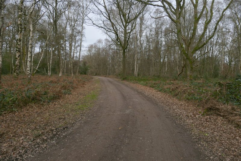
The drive between Coldharbour Farm and Woodyard Cottages (after I left the route of the Ashridge Estate Boundary Trail)
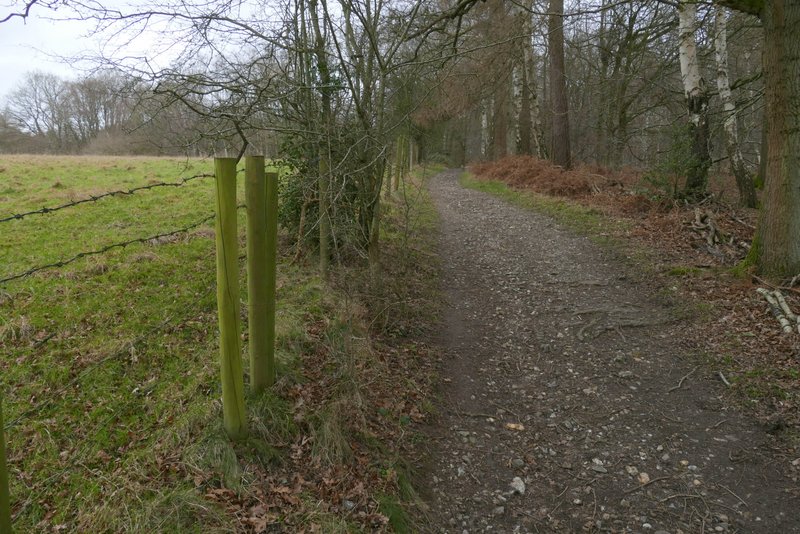
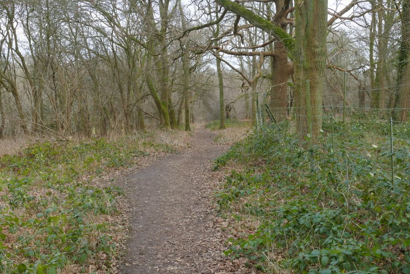
The path after I left the drive just past Woodyard Cottages
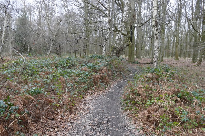
Further along the same path
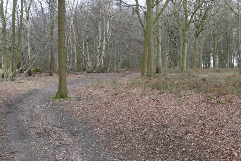
Further along the same path, where it turns away from the fence
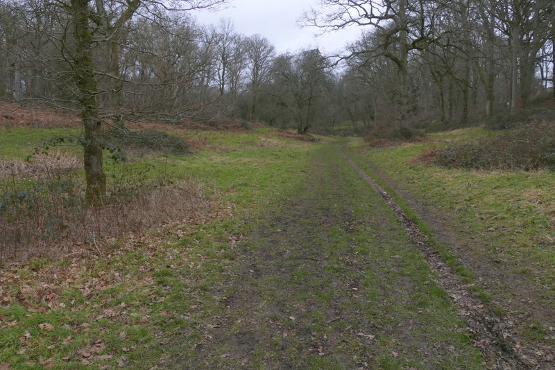
The track after I turned right
I followed the drive left (more or less straight on), with the impressive Gothic fantasy of Ashridge House over to my right. After about a quarter of a mile I reached a drive junction by a white gate, where I turned right towards the grand house. After maybe one hundred yards I took a footpath going left, which followed a fence on my right past a car park and then entered more woods. The path then dropped downhill slightly into Golden Valley.
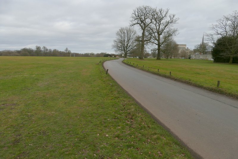
The path along the drive past Ashridge House
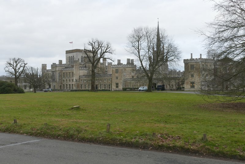
Ashridge House
The path from Ashridge House to Golden Valley
The path from Ashridge House to Golden Valley
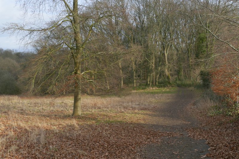
I now rejoined the route of the Ashridge Estate Boundary Trail by turning left along a path running through the grass at the bottom of the valley. After a few hundred yards, the path curved right and gradually approached another drive from Ashridge House. I then followed the drive to the right for a short way, before another path forked left from the drive. I then just had to follow this path (shown as a permissive path on the latest OS map) through the woods for about three-quarters of a mile. After a while I had a fairway of Ashridge golf course on my left, and just beyond this I reached a road near Ringshall, opposite the car park where I'd started.
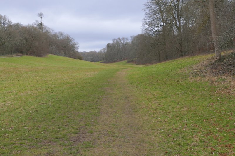
Golden Valley (now back on the route of the Ashridge Estate Boundary Trail)
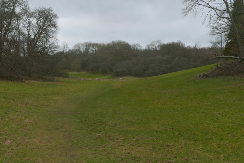
Golden Valley
The start of the path after crossing the drive from Ashridge House
Further along that path
The path continuing alongside part of Ashridge golf course
The path continuing alongside part of Ashridge golf course
I was pretty tired at the end of the walk, I'm still not as fit as I'd like to be (and still very overweight). But I enjoyed the walk, despite the grey conditions (there were meant to be sunny intervals, but they were very few and very brief) and despite the strong and chilly winds on Gallows Hill and Ivinghoe Beacon. I still think it's a very good route for someone who doesn't want to do the full 16 miles of the Ashridge Estate Boundary Trail.