Pete's Walks - Blows Downs, Caddington, Markyate (page 1 of 2)
If you are considering walking this route yourself, please see my disclaimer. You may also like to see these notes about the maps and GPX files.
I did this 15.5 mile walk on Monday, 12th October, 2009. It was the walk I'd intended doing last Monday, but had to cut short because of the dismal weather. The route is mainly the same as a Markyate, Caddington, Blows Downs walk I did about five weeks ago, but in the reverse direction and with a different section between Blows Downs and Caddington (taken from the Caddington figure-of-eight walk I did a couple of months back).
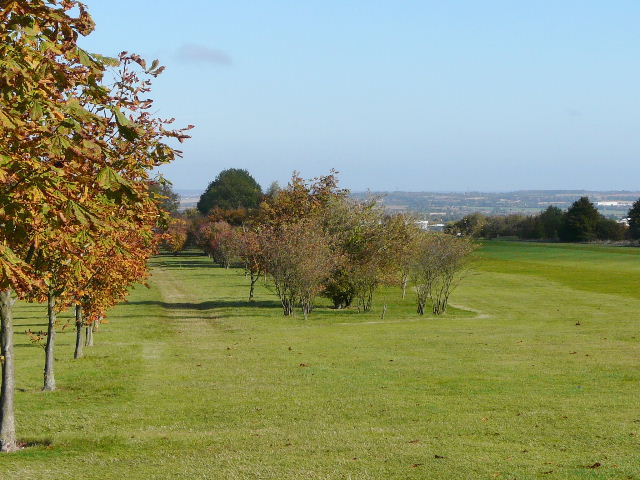
I started walking about 9.30am - it was a beautiful day with clear blue skies (a total contrast to the grey skies and drizzle last Monday!), though initially quite cool so that I wore my coat for the first hour or so. I walked up Common Road and Isle of Wight Lane and then cut across to the path round Kensworth Quarry. I then lost half an hour, as an apparently stray dog started following me and I had to eventually return it to its owners. I followed the quarry path and then turned left to reach Dunstable Downs. Instead of crossing the road to the old car park, I took a path going sharp right, across Dunstable Downs Golf Course. There were some lovely views from the golf course, which had been completely lost to me in the grey murk last Monday.
Isle of Wight Lane, Kensworth
The path round Kensworth Quarry - the yellow post marks where I turn left for Dunstable Downs
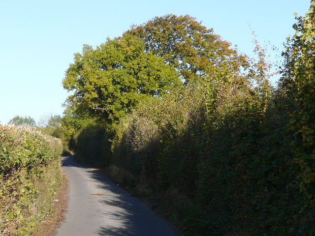
The path across Dunstable Downs Golf Course
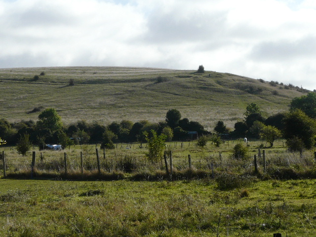
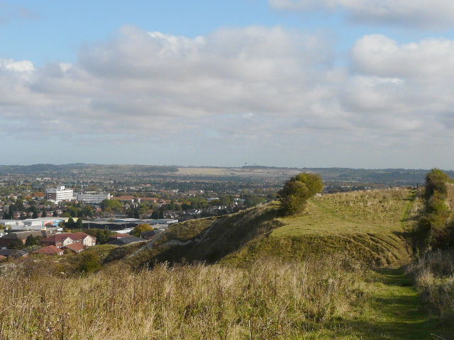
Blows Downs, from Dunstable Downs Golf Course - as with the previous photo, the view was completely hidden when I came this way last Monday
At the foot of the Downs, I started to make my way through Dunstable, soon picking up Cemetery Lane. I walked through the large car park in the town centre, passing the Baptist chapel my mother attends, and continued on across the A5 to reach the imposing Priory church. In a surprisingly short space of time I was out of the town, on a track that the Icknield Way follows to reach Blows Down. It was a short but steep climb to the top of Blows Downs, at the corner where they turn from north to east.
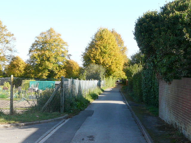
The start of Cemetery Lane, Dunstable (the cemetery is beyond the golden-leaved trees)
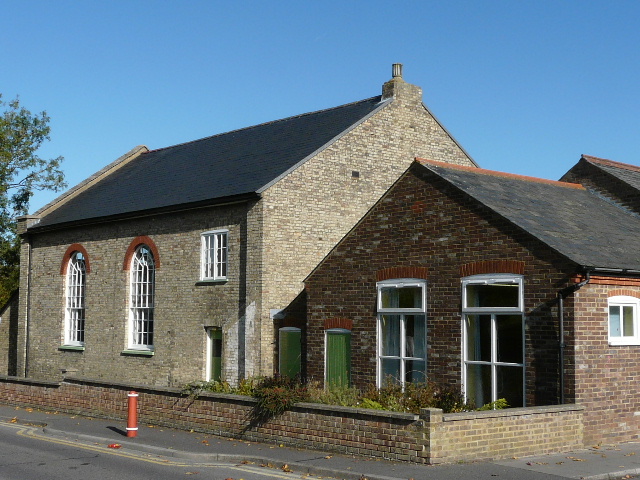
Baptist church, Dunstable
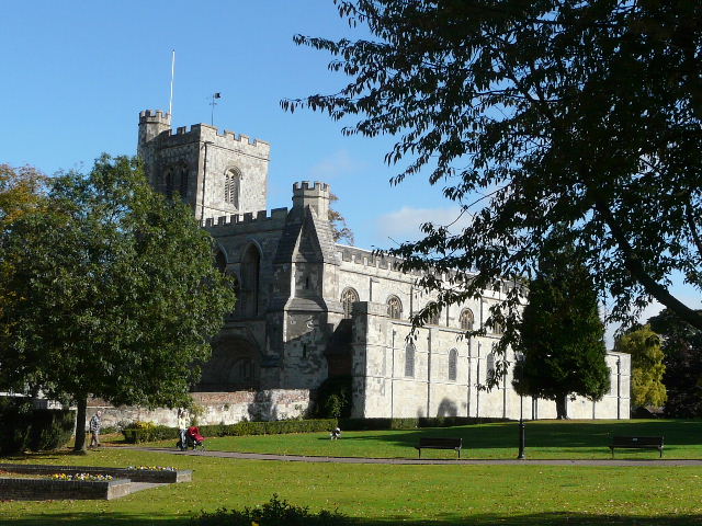
Priory church, Dunstable
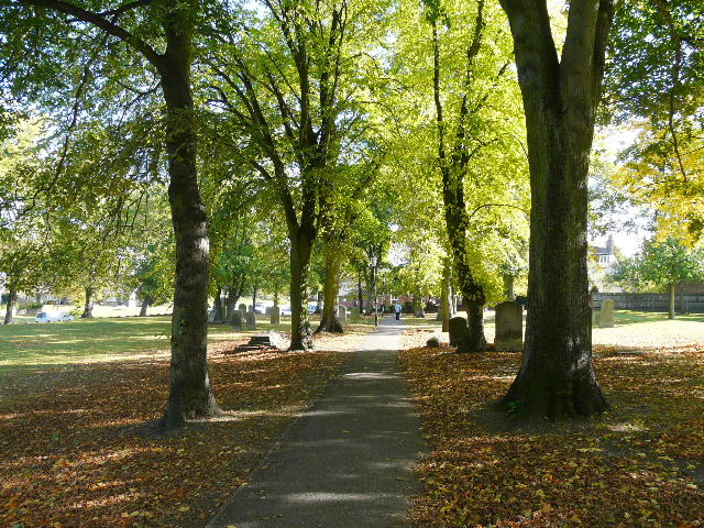
The path through the graveyard of Priory church
Looking ahead to Blows Downs, from the Icknield Way track on the edge of Dunstable
The path up the corner of Blows Downs
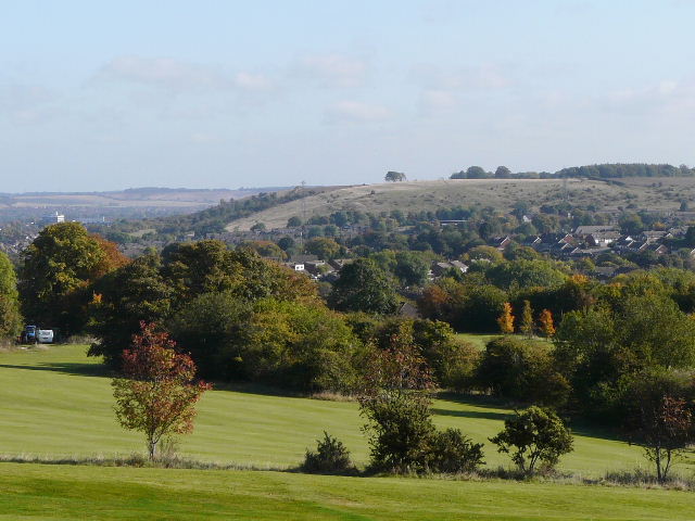
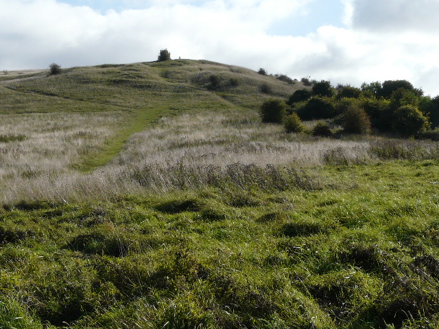
Looking back from the top of Blows Downs
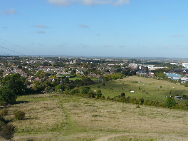
I followed the path going east along the top of Blows Downs, with parts of Dunstable and Luton spread out below me on the left. After about a mile, I descended the slope and crossed a main road by a roundabout. I then followed the old Chaul End Lane a few hundred yards, continuing through an overgrown meadow before re-crossing the main road (the Luton-Dunstable Relief Road). A path took me along the foot of the slope of the Downs, until I reached a bridleway going right, heading towards Caddington.
The path going east along the top of Blows Downs, Dunstable and Luton below on the left
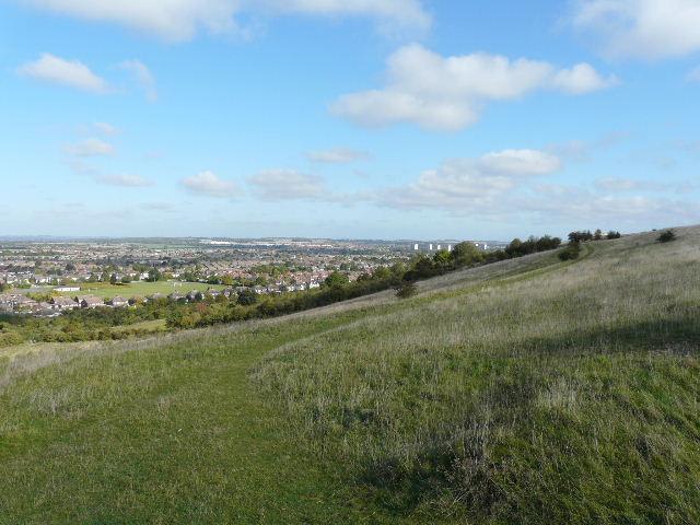
The path along the top of Blows Downs, by an old chalk quarry
A former section of Chaul End Lane
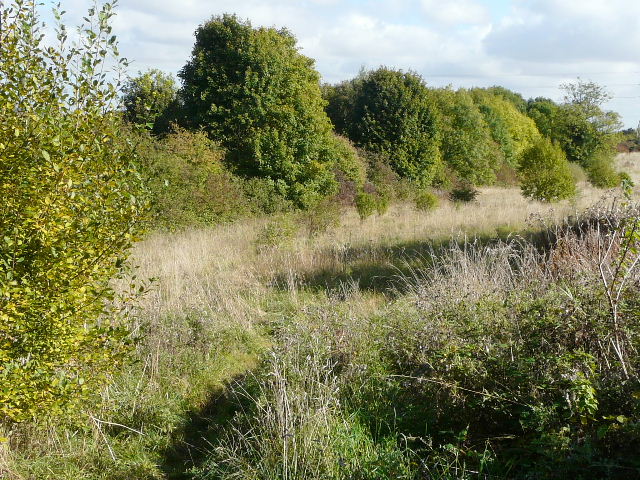
Overgrown meadow on the edge of Luton
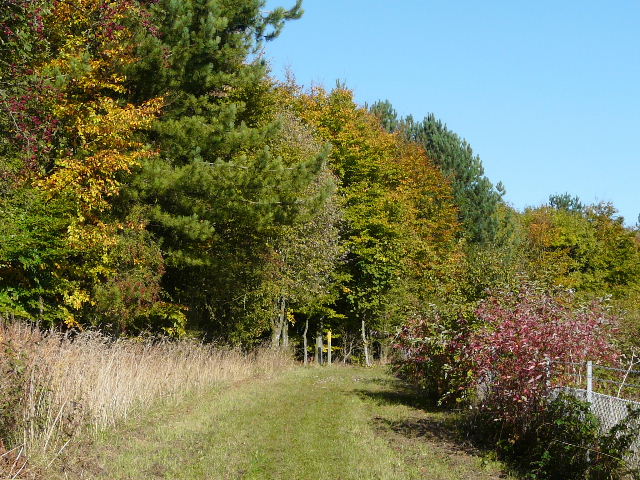
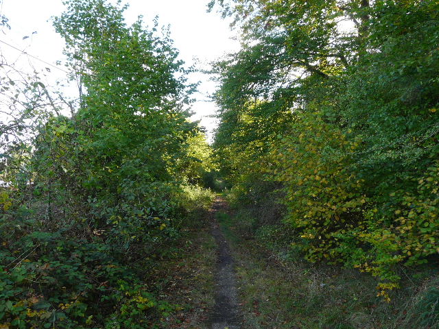
The bridleway ran very gently uphill between hedges either side. After half a mile, I turned left on a path that took soon took me through Round Wood (with the adjoining Badgerdell Wood to my right).
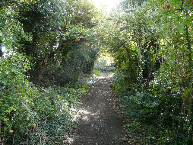
The bridleway from Luton to Caddington
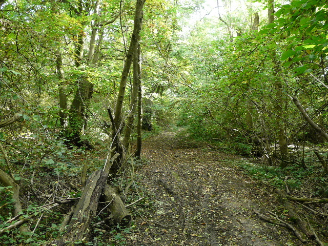
Path through Round Wood